See the future of geomatics at INTERGEO 2026

Join Topcon in Munich, Germany, from September 15 to 17, 2026 | Stand B5H059

Unveiling what's next in geomatics

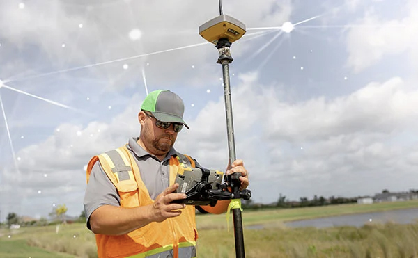
You need accurate data to keep projects moving. Disconnected tools slow you down. That is where we come in. INTERGEO gathers contractors, surveyors and industry experts to shape the future of mapping and infrastructure. Visit the Topcon Stand #B5H059 to experience our newest technology and be among the first to hear exclusive product announcements you won’t want to miss.

Click to register on INTERGEO’s website.

Advancing precision in a digital-first world

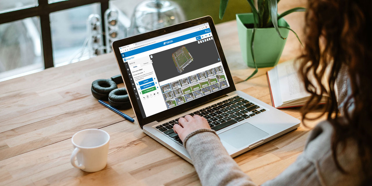
We deliver an open ecosystem that connects your equipment, people, and processes into a single intelligent platform, powering connected workflows and helping you get more work done. Topcon's solutions, supported by a strong partner network, help organizations accelerate digital transformation and unlock greater value from spatial data.

Place points accurately from any angle

Use real‑time interior positioning to place points accurately from any angle, without line of sight or pole leveling.

Confidently map critical infrastructure

Streamline GIS and utilities mapping with precise data capture that improves asset visibility, planning and decision‑making.

Visualize, process and share point clouds

Use a unified 3D environment to combine, visualize, and publish point cloud data from any source.

Deliver accurate results every time

Use high-accuracy GNSS positioning for surveys, mapping, and connected workflows for reliable and resilient data.

Scan, process, register and deliver data on-site

Capture jobsite data at high speeds with immediate on-site analysis and precise 3D verification

Precision tools for rail and tunnelling work

Survey, build, and monitor rail and tunnelling infrastructure with precision‑driven technologies.

See all of our solutions

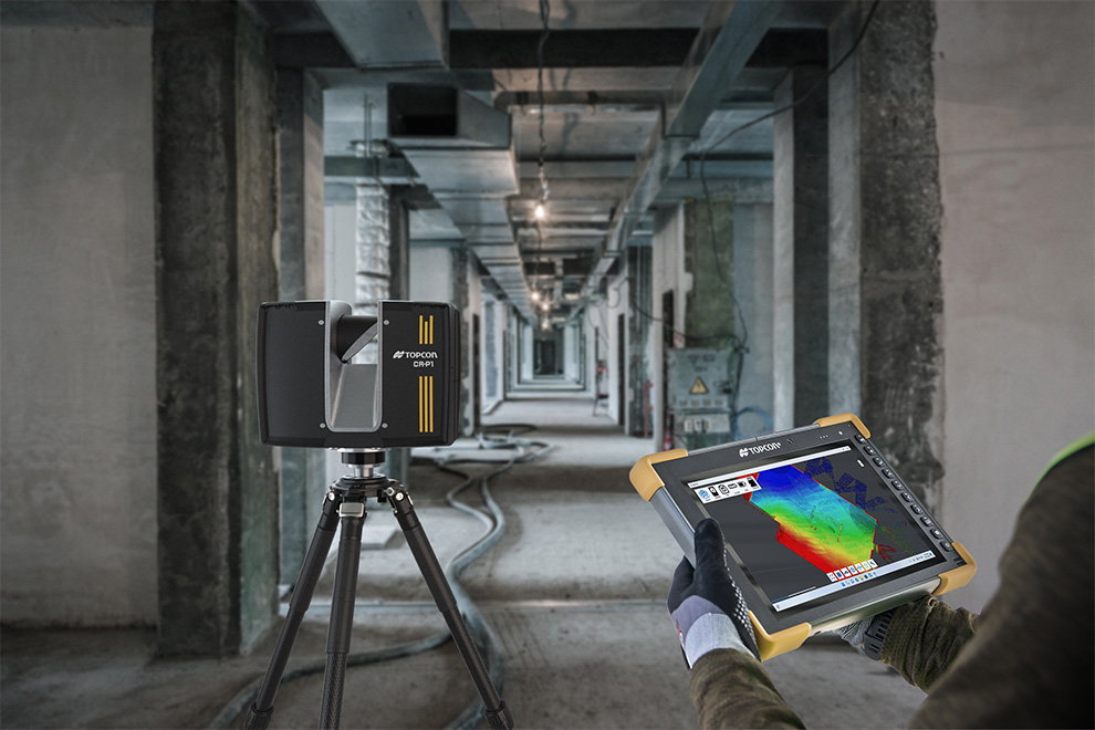
Find something unexpected for layout, survey, and connected workflows

Precision layout made frictionless

Origo™ is a next-generation spatial positioning system designed for fast, reliable interior building layout. Using reusable spatial reference maps, it delivers real time positioning without the constraints of prism line of sight or leveling the pole.

Connected utility mapping for complex environments

Our utility mapping solutions enable high-accuracy data capture for asset inventories and underground infrastructure. Powered by advanced GNSS and leading photogrammetry, they deliver precise, reliable 3D measurements with intuitive handheld tools.

Correction services for consistent accuracy

Our correction services provide seamless, high-quality GNSS data for construction, survey, GIS, mapping, and agriculture. Powered by Topnet Live, they deliver reliable, real-time accuracy while enabling connected workflows and IoT-driven applications worldwide.

What should you expect by attending INTERGEO 2026?

At INTERGEO, you’ll experience the latest tools, equipment, and service innovations shaping the future of survey, mapping, and geomatics. The show brings together industry leaders, peers, and hands-on education—all in one place. Stop by our booth to experience cutting‑edge technology, see innovative ideas brought to life, and get an exclusive first look at new product announcements.

Since precision exists

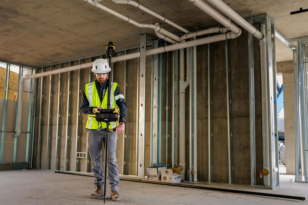
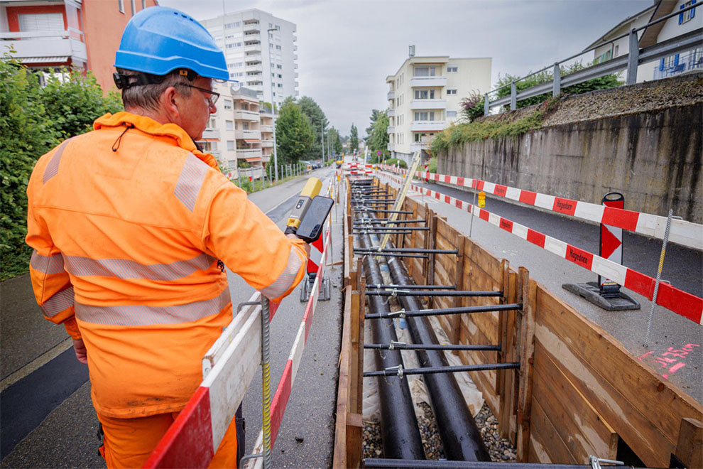
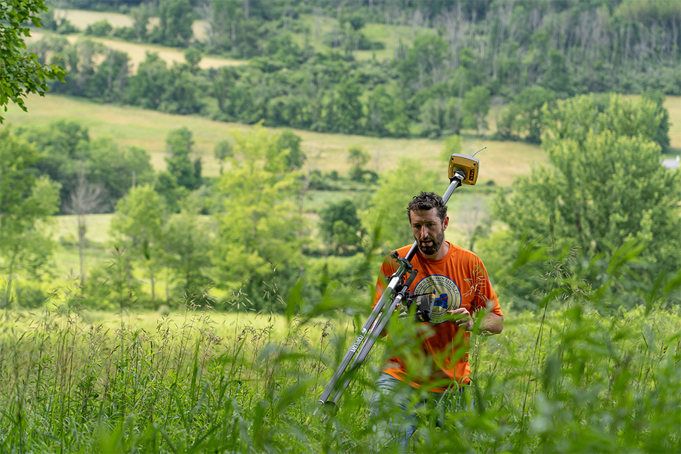
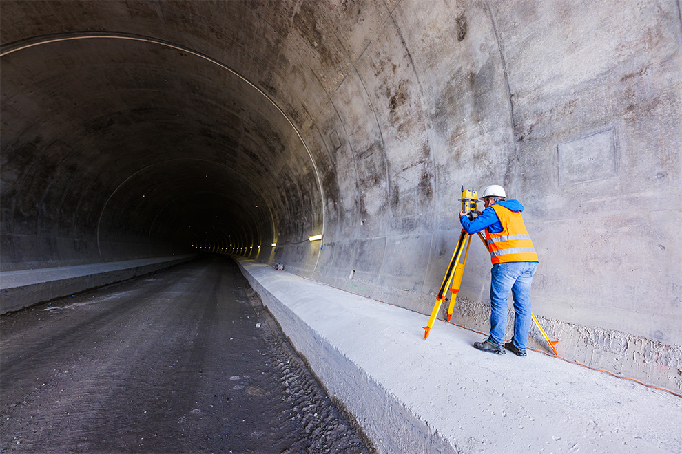
Precision isn’t just a feature—it’s the foundation. At Topcon, precision is what drives innovation, empowers progress, and brings accuracy to every job site, field, and infrastructure project around the world. Topcon’s solutions are designed to deliver results where they matter most—in the real world.

Get in touch with our experts for more information and your free entrance ticket to INTERGEO 2026

Be among the first to experience Topcon’s newest innovations at INTERGEO. Fill out the form below to secure your free entrance ticket, book a one-on-one appointment, and connect with our experts for personalized follow-up information.

Thank you!