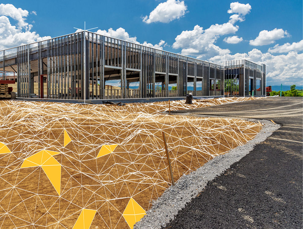
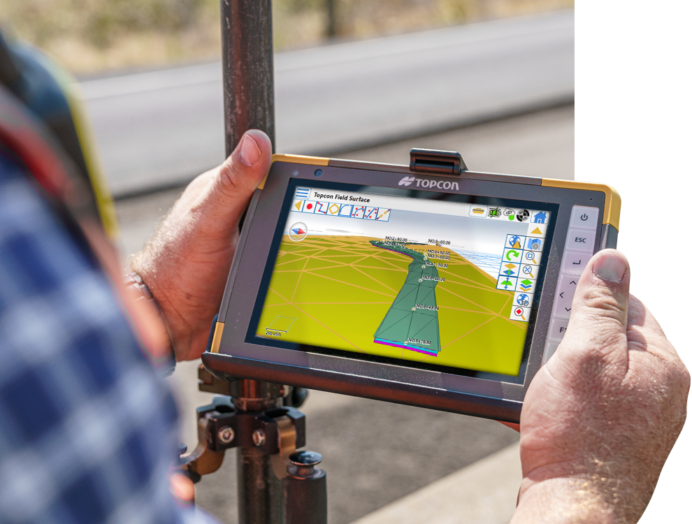
Constructible digital terrain models
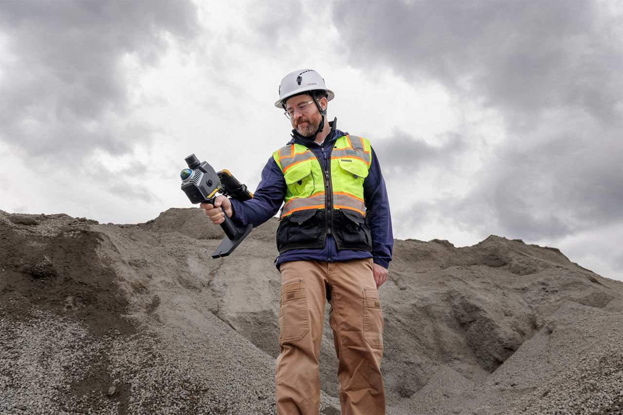
Topcon Office’s base software lets you combine plans and survey data to build 3D digital-terrain models for site survey and machine control. A common file can be directly shared between machine operators, GPS instruments, grade checkers and project stakeholders for a better-connected project team.

Office functionality
Office
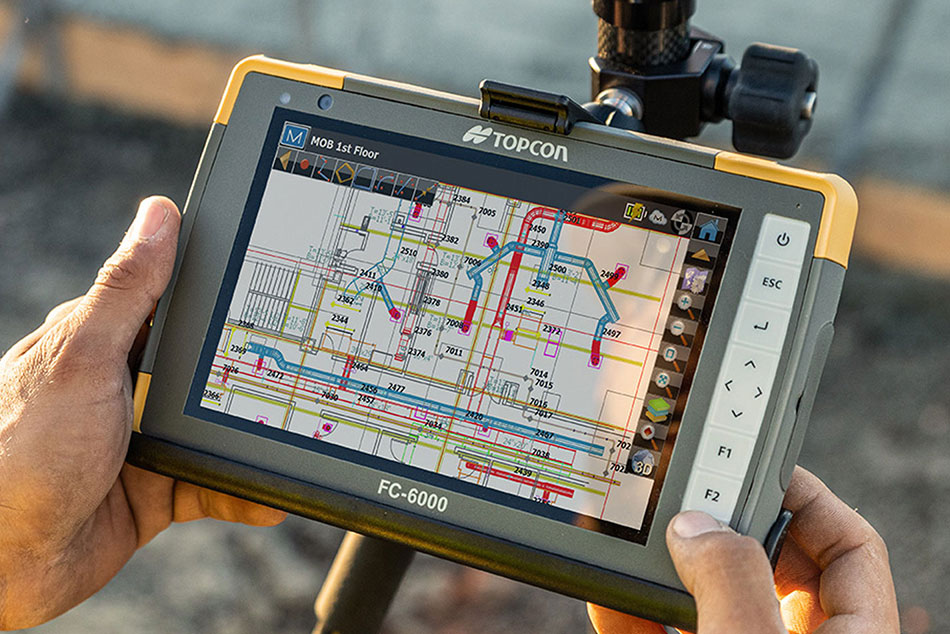
Prep job files for machine control and grade management
Key uses

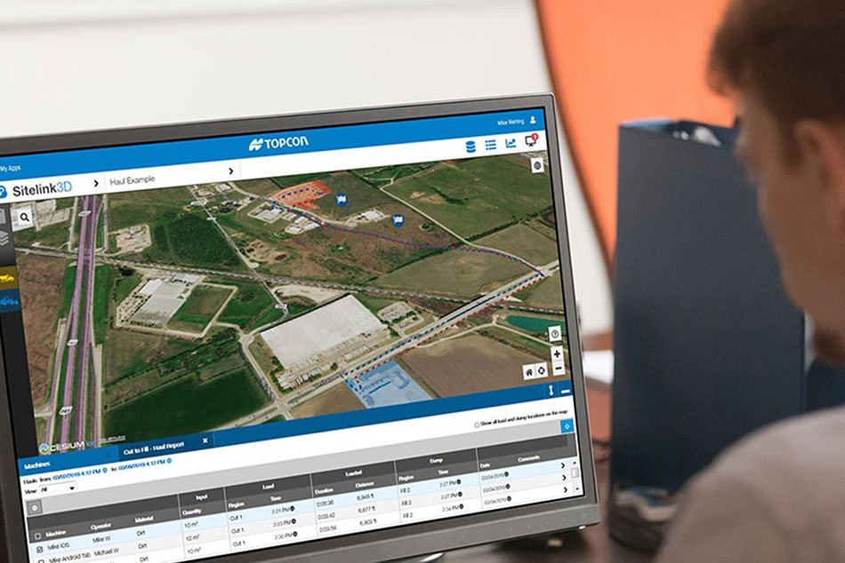
Sitelink3D and Enterprise connectivity

Machine control data prep

Layout data prep

Road and site design

Corridor design

2D PDF to 3D job file

Take off and material quantities

Paving resurfacing design

Finished Survey CAD deliverables

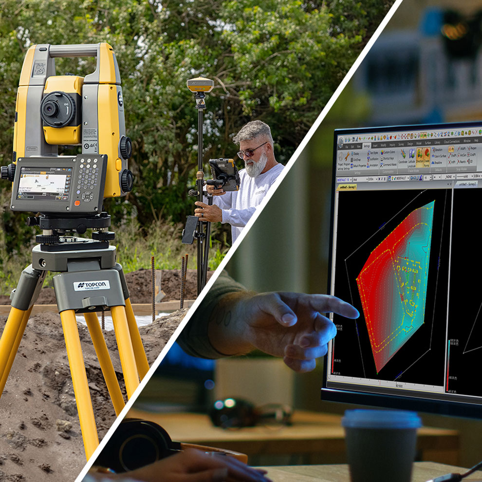
Tools GNSS/optical processing
+Site Prep Module
Add advanced road, site and resurfacing design tools
Key uses

Sitelink3D and Enterprise connectivity

Machine control data prep

Layout data prep

Road and site design

Corridor design

2D PDF to 3D job file

Take off and material quantities

Paving resurfacing design

Finished Survey CAD deliverables

Tools GNSS/optical processing
+Survey Module
Add finished CAD deliverables and data processing for surveyors
Key uses

Sitelink3D and Enterprise connectivity

Machine control data prep

Layout data prep

Road and site design

Corridor design

2D PDF to 3D job file

Take off and material quantities

Paving resurfacing design

Finished Survey CAD deliverables

Tools GNSS/optical processing
“The data and the workflow is more efficient… machine control 3D modelling with Office helps us catch mistakes before they become mistakes.”
- Steven Baxter, Co-Owner, Accurate GPS Modeling
Related offerings


Get in touch
Thank you! We will be in touch.