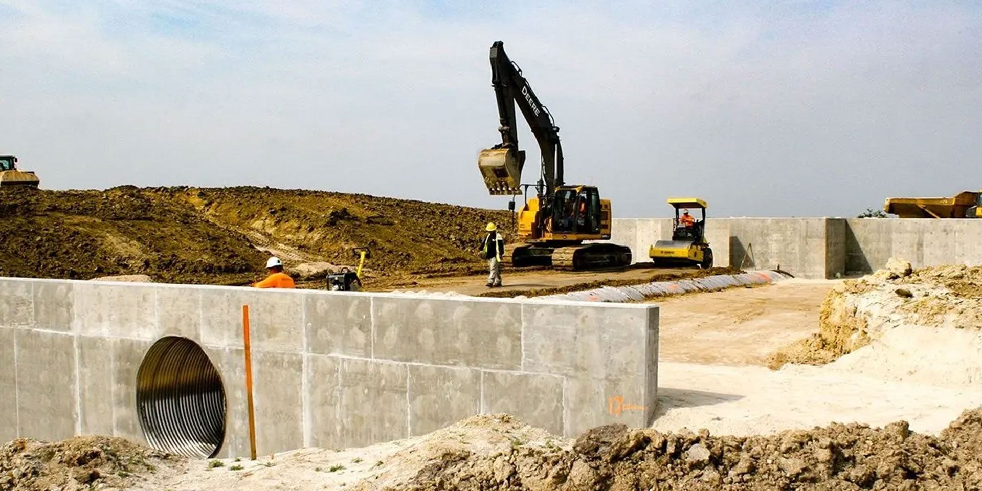
“Our part of the overall project for the FWMA includes construction of 12.5 miles of levee, and within that levee, we are building a number of structures that allow water to pass through in a controlled manner,” he says. “It was on one of those that we decided to go a step further than we normally do in generating our as-builts. In the past, once we were at a point where we needed an as-built, we would call in surveyors and they would take a shot on each corner and a shot on the invert of the pipe — that was it. From that info, we would have to interpret all the data that lies in between those few shots. It’s really limited in scope.”
Wise knew there had to be a better way and suspected that the solution they needed was already in their inventory — it just hadn’t been tried yet.
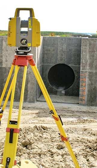
“For a different job we will be starting not far from here, we had recently purchased a Topcon GLS-2000 laser scanner,” he says. “That project, the massive South Florida Water Management District’s C-44 canal near Lake Okeechobee, came with a prerequisite that, to even bid on the job, a company must either have a scanning capability or subcontract to a firm that did. That’s the first time we’ve ever faced that, but I sense it won't be the last —the technology and the solution it provides are making huge inroads.”


