From scan to decision: how reality capture reduces rework

Reduce rework, verify as-builts faster, and make better job site decisions with reality capture and 3D laser scanning.

CR Family Construction

Most construction rework doesn't start with a major failure. It starts with small gaps in site information that can grow as work moves forward. Outdated site documentation, manual measurement errors and disconnected field and office teams all contribute to costly rework. 3D laser scanning and reality capture help close those gaps.

High-quality scan data supports as-built verification against design intent, helping teams identify issues earlier in the project lifecycle. On-site registration and validation help confirm coverage while crews are still in the field, reducing the risk of additional site visits. A shared digital record keeps stakeholders aligned and working from the same information. In practice, that can help address challenges such as MEP coordination, structural deviations and incomplete site documentation. Topcon's Capture Reality ecosystem helps teams identify and resolve issues before they become more costly to correct.

Phil Marsh

Phil Marsh, Topcon Geomatics

From scan to decision: how reality capture reduces rework

Rework rarely starts with a big mistake. It starts with a small gap. A sleeve set 50 mm off. A slab poured a little high. A wall framed from a drawing that no longer matches the site.


By the time you find it, the cost has multiplied. Trades have moved on and finishes are going in. Now the fix means demolition, resequencing and an awkward conversation with the client or site manager. 


The numbers back this up. A widely cited study by the Construction Industry Institute (CII) suggests direct field rework is at an average of 5% of total project costs with a range of 2-to-20 percent depending on project type. Some studies even place the figure as high as 30 percent in certain regions. For example, on a typical project valued at $50 million, even the floor-level estimate represents $2.5 million in avoidable project costs. At $200 million, the exposure reaches $10 million or more. In 2018, FMI and PlanGrid estimated that rework caused by poor project data and miscommunication cost the US construction industry $31.3 billion in a single year. The same research linked roughly half of all rework to those two causes. In the UK, the Get It Right Initiative estimates that avoidable construction errors cost the industry more than £20 billion each year, underscoring the value of accurate, up-to-date site information.

topcon_cr-s1

That's the real problem. Not necessarily bad crews. Bad information. 3D laser scanning and reality capture give you a better starting point and a faster path from what you see on site to what you decide.

The blind spots you're working around:

Traditional site documentation leaves gaps. Tape measures, total station spot checks and site photos tell you about the points you chose to measure. They can't tell you about the conditions you didn't measure.

Traditional surveying and targeted field measurements provide the critical control points that projects rely on. However, because they focus on selected locations, teams can still miss surrounding conditions or context that become important later. A misplaced note or overlooked detail can eventually surface as a duct that won't fit or an embed in the wrong place.

Timing can also be a challenge. Site documentation often lags behind the work. Your BIM model shows design intent, while field conditions continue to evolve. Small deviations can emerge in the space between those two realities before they're identified and addressed.

When field and office teams are working from incomplete or outdated information, questions multiply, RFIs increase, and decisions take longer. Reality capture helps bridge that gap by adding a current, comprehensive visual record alongside traditional surveying data. 
Detailed site records that provide greater context:

Laser scanning closes those gaps because it captures everything in view. A terrestrial scanner records millions of measured points and builds a point cloud: a precise 3D record of the site exactly as it stands.


With Topcon’s Capture Reality solutions, you can move seamlessly from field data to finished deliverables in one connected workflow. Capture, process, analyze, and verify scans on-site, ensuring data completeness before you leave the jobsite and turning reality capture into usable results faster. That completeness pays off later. When a question comes up three months from now, you don't send a crew back out. You open the scan. From registered point clouds and volume calculations to BIM-ready models and digital project records, you can move from field collection to project insights faster while reducing costly return visits.


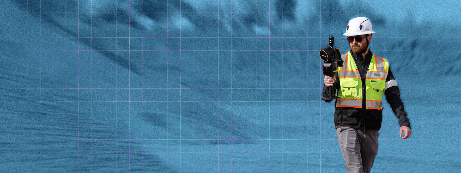
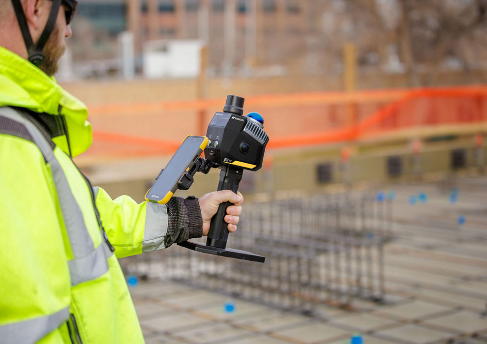
Not every job calls for a tripod. Handheld and mobile scanners like the CR-S1/CR-S2 and CR-M1 use SLAM (simultaneous localization and mapping) technology to capture data as you walk, making them ideal for tunnels, stairwells and other environments where GNSS signals can't reach.

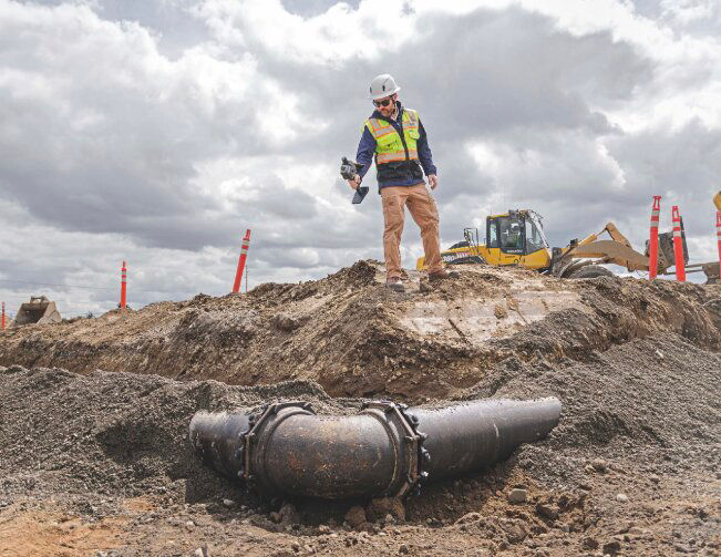
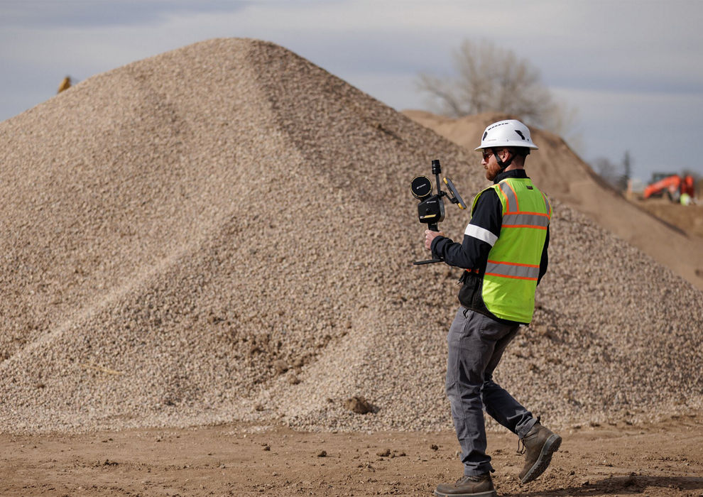
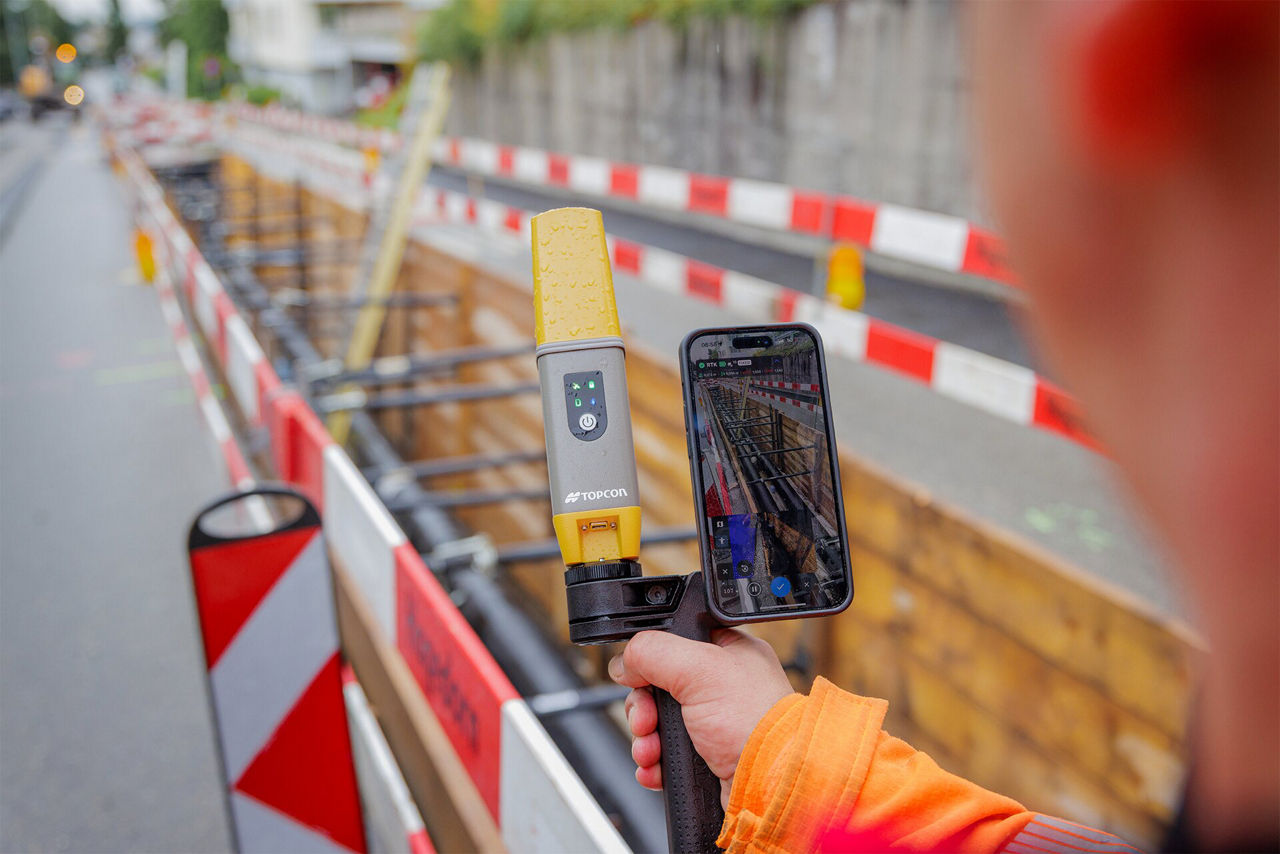
For fast documentation of changing site conditions, the CR-H1 combines an iPhone, RTK positioning and photogrammetry to quickly create georeferenced 3D models of trenches, utilities, stockpiles and other features before they get covered up. Match the tool to the task, and capture data as often as your project demands.

Catch the missed scan before you leave site:

Here's a familiar scenario. Your survey crew scans a mechanical floor, packs up and heads back to the office. Two days later, registration reveals a gap behind a column. Now you're scheduling a return trip while the ceiling contractor waits.

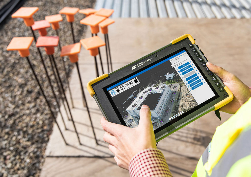
Real-time on-site processing breaks that cycle. With Collage Site running on a field tablet, your team registers and processes scans as they capture them. You check coverage and accuracy on the spot, find the gaps and fill them while the scanner is still set up.

Collage Site also lets you overlay CAD and BIM models on captured point clouds. You can run floor elevation checks, heatmaps and volume calculations right in the field, so your crew can flag a problem the same day they find it.
As-built verification that keeps pace with the build:

Take an MEP example. Hangers and sleeves are in, and the ductwork is on order. A scan reveals that a beam penetration sits 75 mm lower than the model shows. If you find it today, you have a coordination fix. If you find it after install, you have a teardown.
 

ClearEdge Verity makes that early catch practical. Verity compares as-built point clouds to design models in Autodesk Revit and Navisworks. It produces color-coded heatmaps that show where installed work falls out of tolerance. It also generates deviation reports your team can act on. In one study, Verity identified mistakes up to 85% faster than traditional methods. You can verify the full scope of installed work instead of spot-checking a handful of elements.


Structural work benefits too. Scan columns, slabs and embeds after each pour. If a slab edge or anchor bolt group falls outside tolerance, you'll know before the next trade builds on top of it.
 

When you need an accurate model of existing conditions, ClearEdge EdgeWise speeds up scan-to-BIM work. It extracts pipes, structural steel, walls, conduit and cable trays from point clouds much faster than manual modeling. Your BIM team team gets a dependable as-built model for renovations, retrofits and handover. 

3D Laser Scanners

One source of truth for field and office:

Data only helps if the right people can see it. Point cloud files are large, and not every stakeholder runs specialist software.

Collage Web solves that problem with browser-based access. Project managers, designers, owners and trade partners can view point clouds and panoramic images. They can also take measurements, add notes and compare design models against as-built data side by side. Nobody has to send massive files.

That shared view changes the conversation. You stop debating whose drawing is right. Your team looks at the same record of reality and makes the call.

Scan data exports to standard formats like E57 and LAS, so it moves into the tools you already use. Your digital construction workflows stay intact. They just get better information.
Better data, fewer do-overs:

Reality capture won't remove every problem from a project. Sites change. Plans evolve. People make judgment calls.


What reality capture does is shrink the time between when a problem happens and when you see it. In construction, that time decides the cost.


Complete site documentation, frequent capture, on-site processing and automated as-built verification help you catch deviations while they're still cheap to fix. Your field and office teams work from one trusted record. Your owners get a handover backed by measured proof instead of assumptions.


That's the shift from scan to decision. You capture reality, you understand it faster and you build it right the first time more often.

Your next project deserves information you can trust. Talk with our scanning specialists, book a demo and find the Capture Reality workflow that helps your team cut rework from day one. We'll be right there with you, from first scan to final handover.

Get connected for more information

Fill out the form to get connected with a local reality capture expert.

Thank you!
Related articles