Press releases
Topcon unveils new machine control, safety, and geomatics innovations at CONEXPO 2026
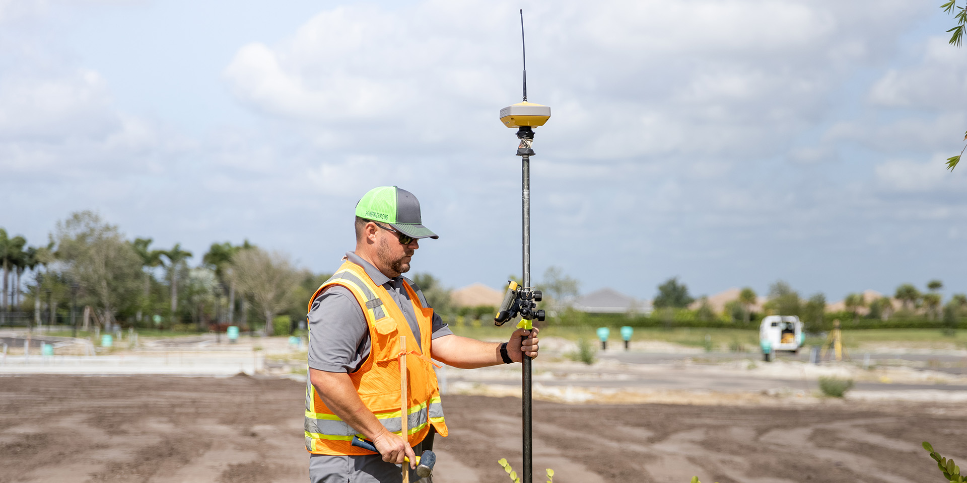
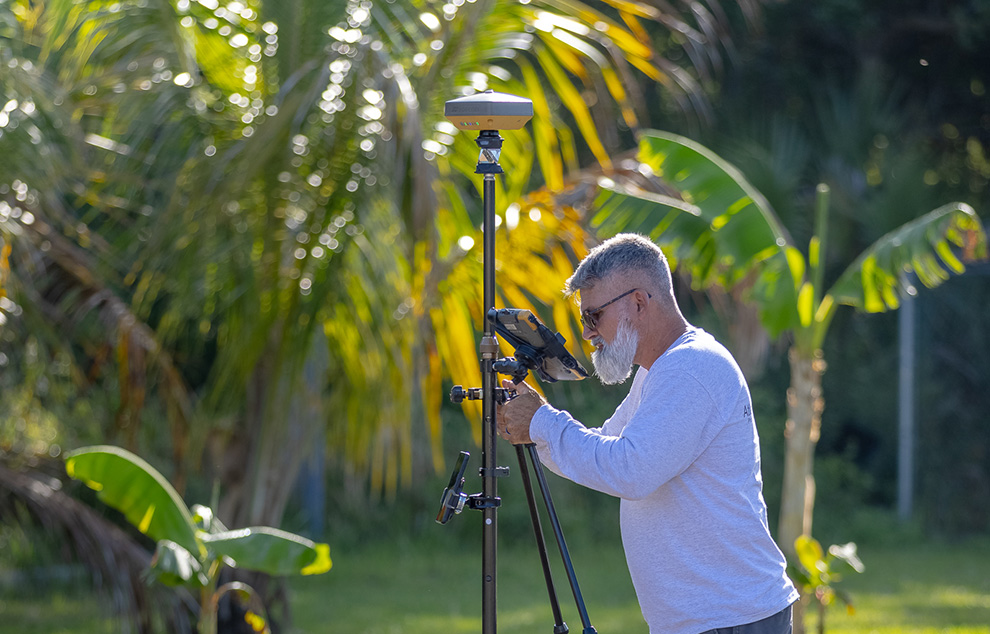
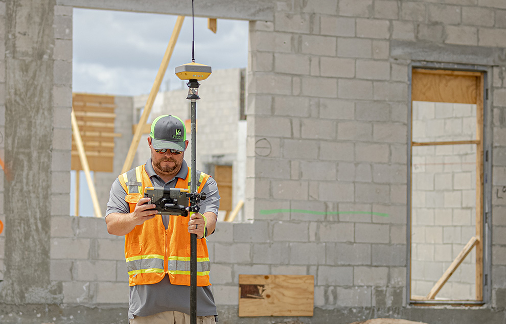
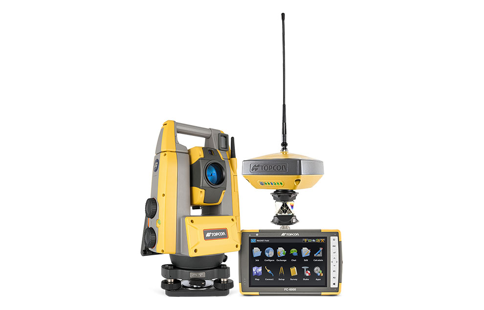
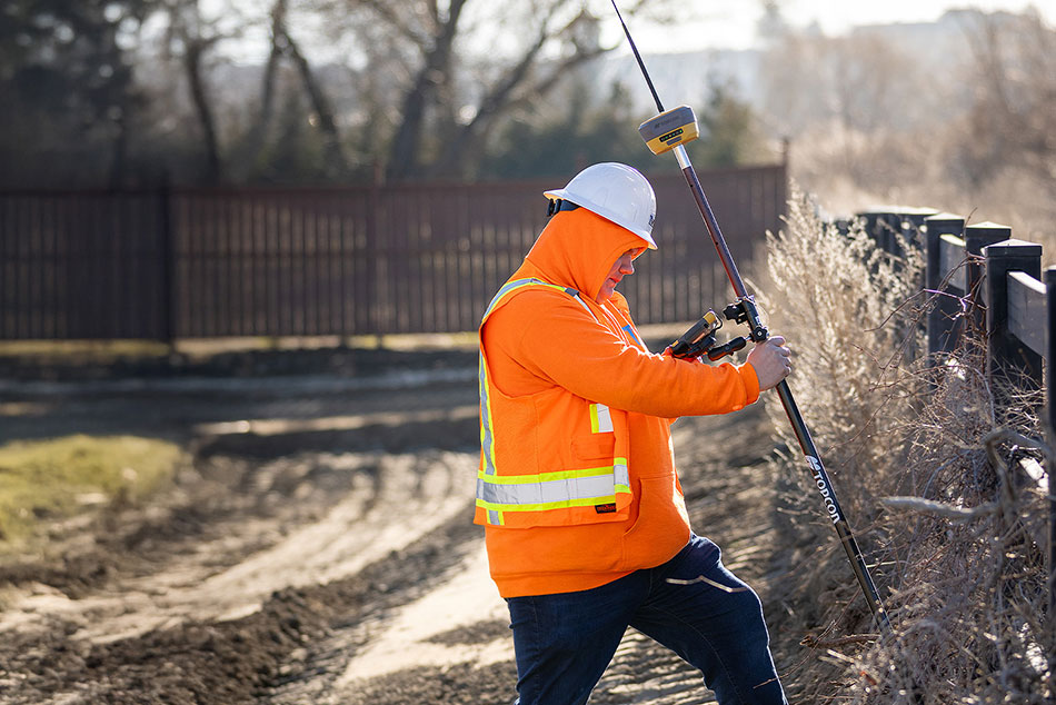
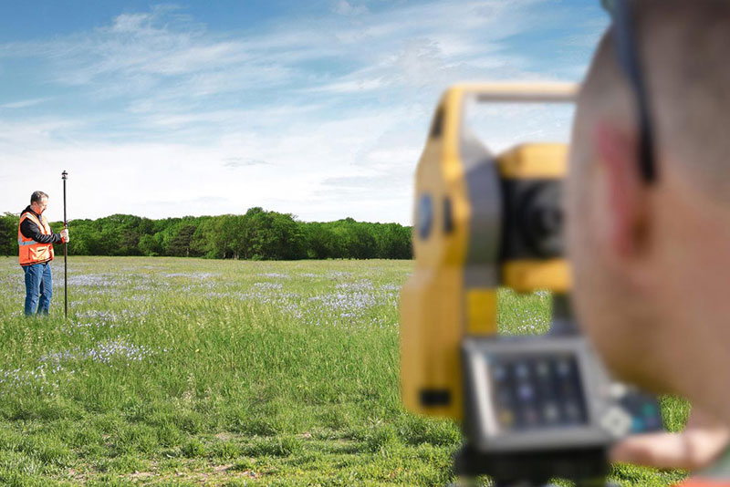
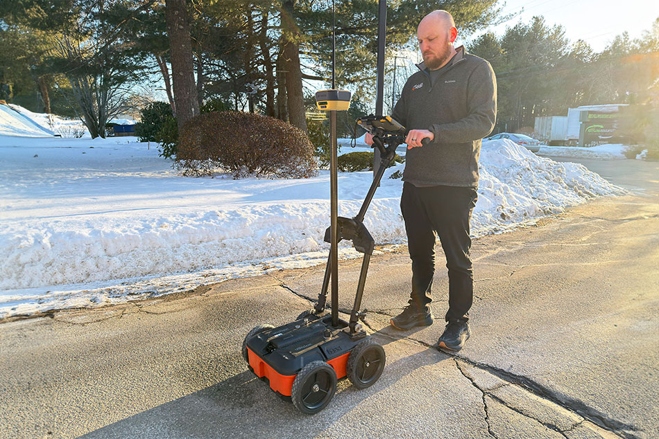
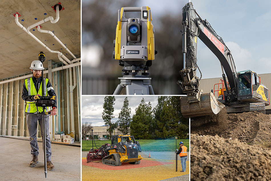
LAS VEGAS — March 2, 2026 — Topcon Positioning Systems has announced new 3D machine control technologies, functionalities, and safety features for earthmoving and paving applications, as well as geomatic technologies for surveying and building construction applications. By connecting equipment, people, and processes, the new technologies are designed to increase productivity across applications and project phases through a centralized platform approach. The announcement was made for CONEXPO-CON/AGG 2026, North America’s largest construction trade show.
Learn More
Read More
Explore