


Find the right product for your applications.
HiPer XR and HiPer HR: Get your free trial of Topnet Live Starpoint Pro and Skybridge Pro
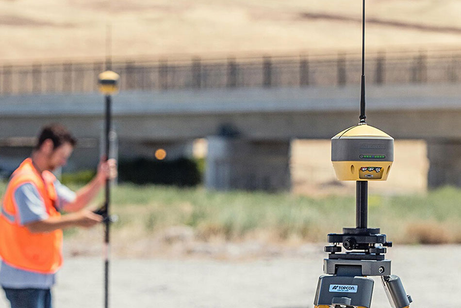
Base stations and rovers for positioning on the move
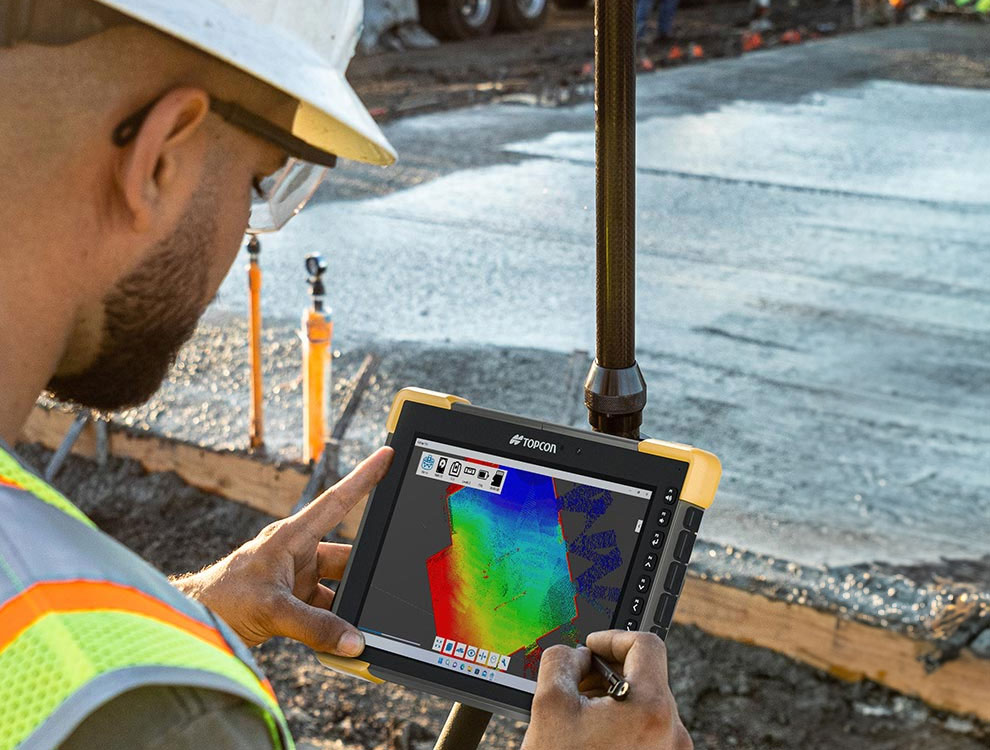
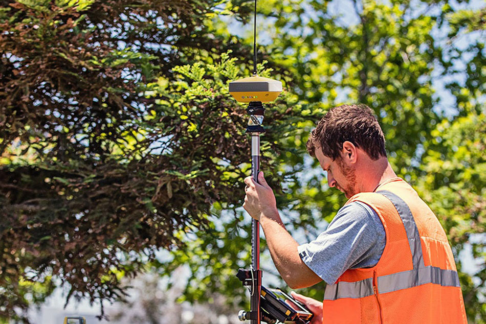
GNSS receivers are the backbone of any base and rover setup.
Choose from receivers designed for semi-permanent mounting or others that can mount to the top of a tripod or range pole.
Compare products
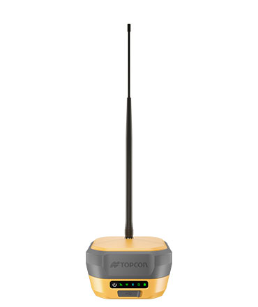
HiPer XR
Description
Premium all-in-one GNSS receiver for high-performance field positioning
Ideal use
Network rover
Base/Rover
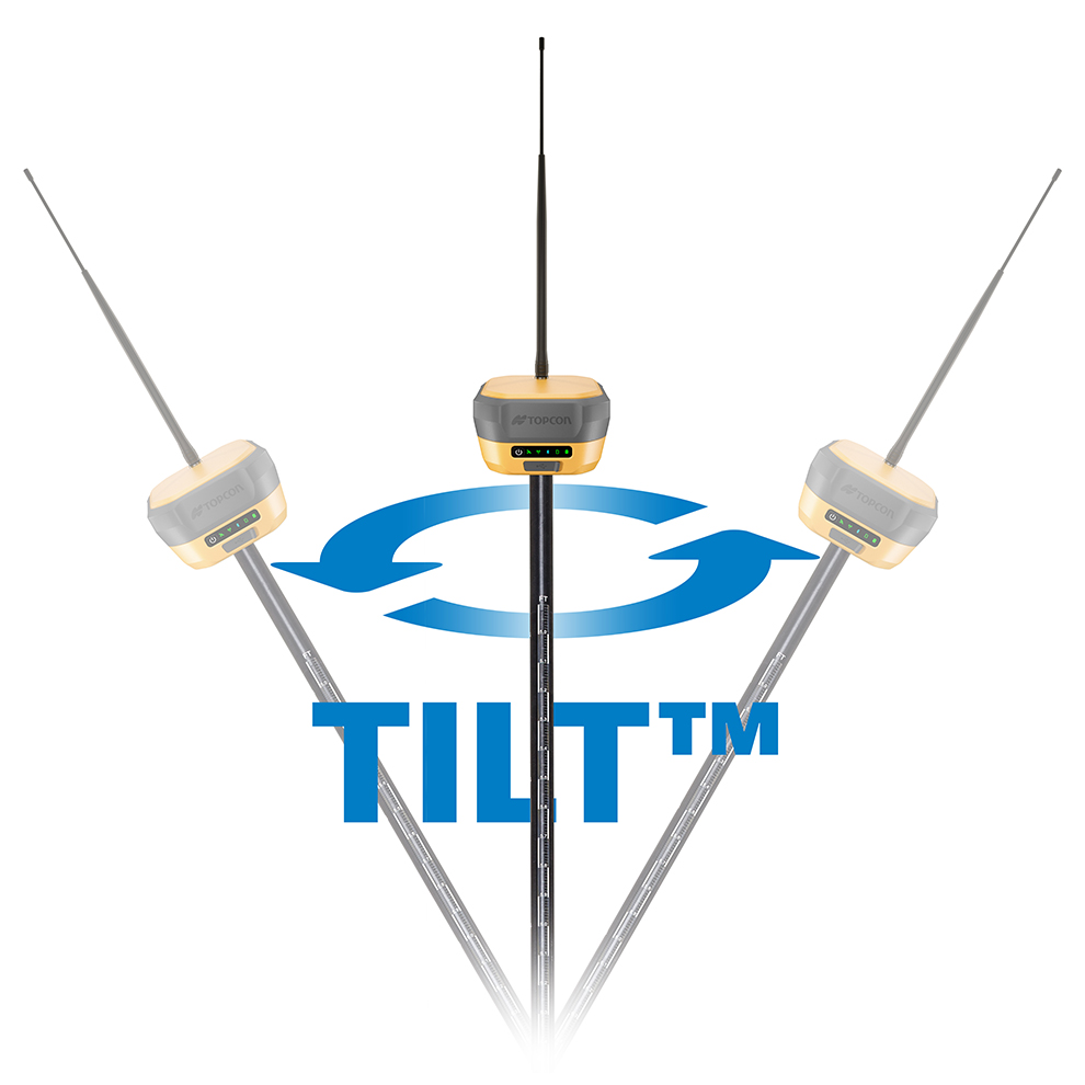
Hybrid positioning™ using the TILT also for slant optical measurements
Key features
Calibration-free IMU tilt up to 60°
Anti-jamming and anti-spoofing technology
4G modem and radio
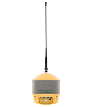
HiPer HR
Description
Versatile GNSS receiver for base, rover and monitoring workflows
Ideal use
Network rover
Base/Rover
Hybrid Positioning™
Monitoring setups
Key features
Integrated modem and radio
TILT support
Network caster capability
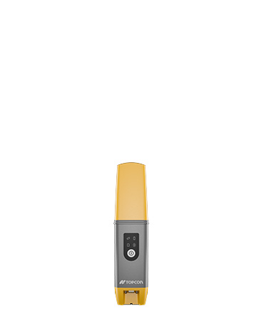
HiPer CR
Description
Compact GNSS receiver for lightweight and flexible field deployment
Ideal use
Network rover
LongLink™ Base/Rover
Hybrid positioning™
Key features
Compact, lightweight design
Bluetooth and LongLink™ connectivity
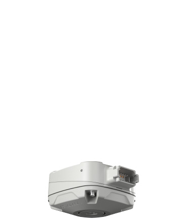
AGM-1
Description
Dedicated GNSS monitoring kit for permanent monitoring applications
Ideal use
Monitoring receiver
Key features
Purpose-built for monitoring
Rugged IP67 design
Serial and CAN connectivity
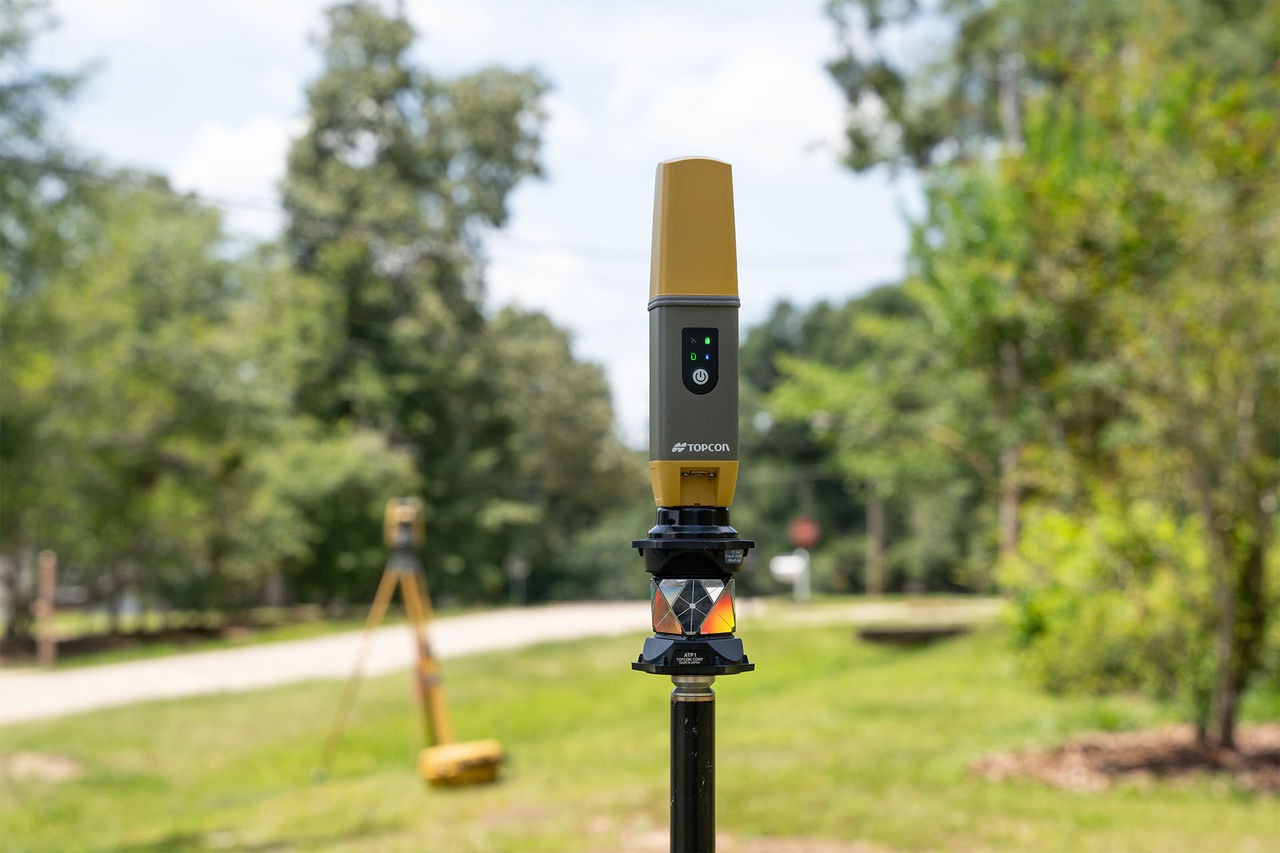
Establish a solid base for your network
NET-G5 or MR-2 receivers can be used with an external GNSS antenna to create a continuously operating local base station.
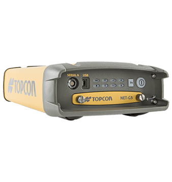
NET-G5
Description
Modular GNSS network receiver for permanent reference station installations
Ideal use
CORS
Local base station
Monitoring
Key features
Modular architecture
Supports external GNSS antennas
Ethernet, Wi-Fi and L-Band connectivity
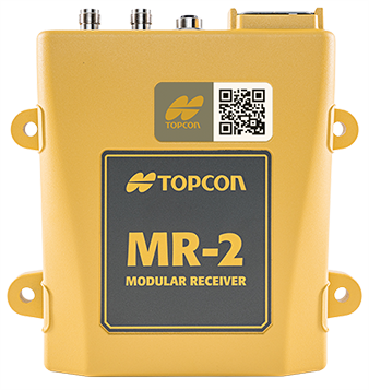
MR-2
Description
Modular GNSS receiver with heading control for fixed site installations
Ideal use
Local base station
Fixed installation receiver
Monitoring
Key features
Single or dual GNSS receiver
Heading control
Designed for larger site setups
Boost RTK connectivity and performance
Relay is a GNSS correction service that extends RTK (Real-time Kinematic) coverage using cellular connectivity. It is designed for situations where traditional broadcasting methods are not feasible, enabling efficient RTK correction for up to 10 rovers from a single base, while doubling the broadcast distance.

Related offerings



Get in touch
Thank you! We will be in touch.