


Discover more insights and updates from Topcon. Our related articles offer a wealth of information on our cutting-edge solutions, industry developments, and the future of precision technology.
Measure, design, or build your way
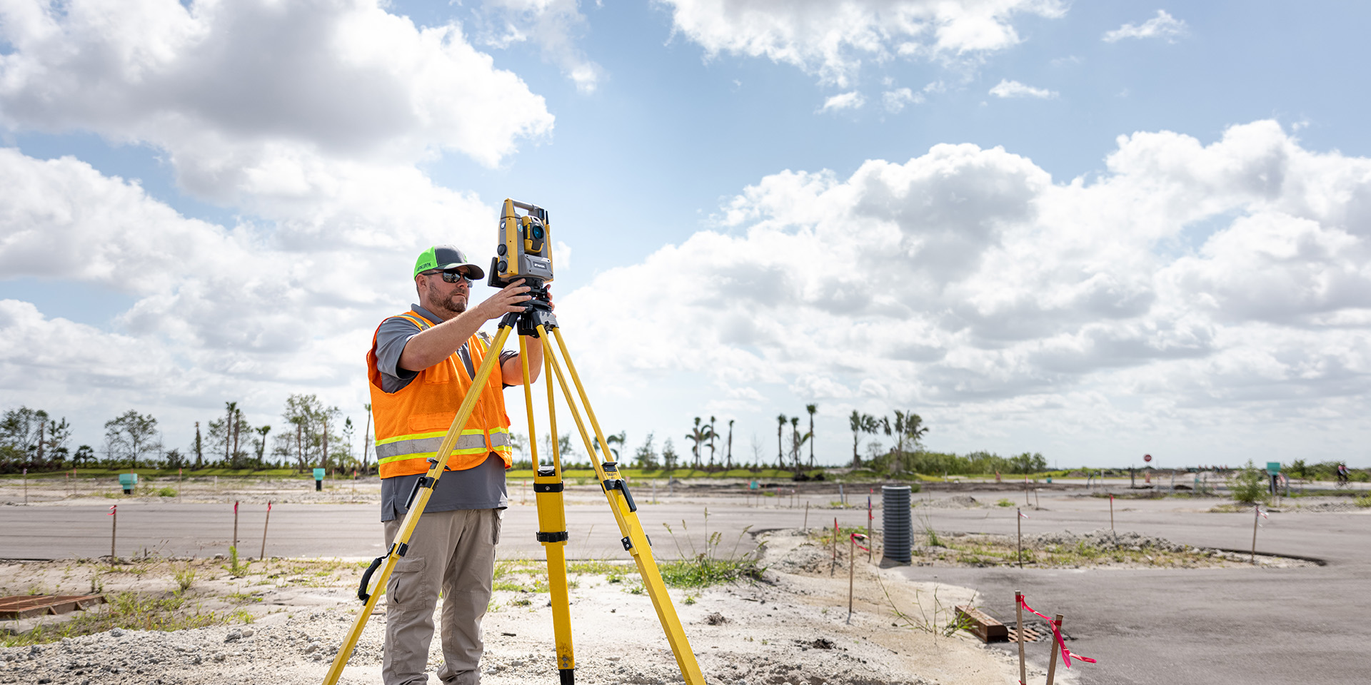
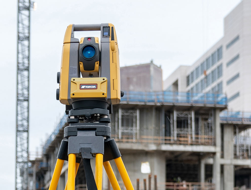
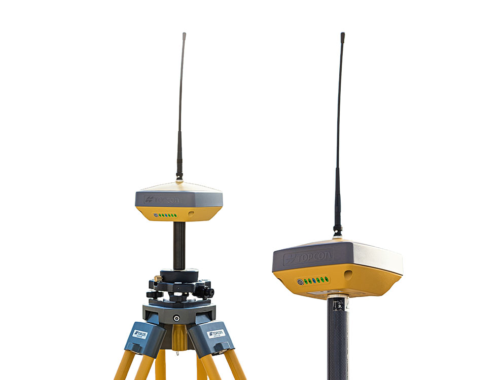
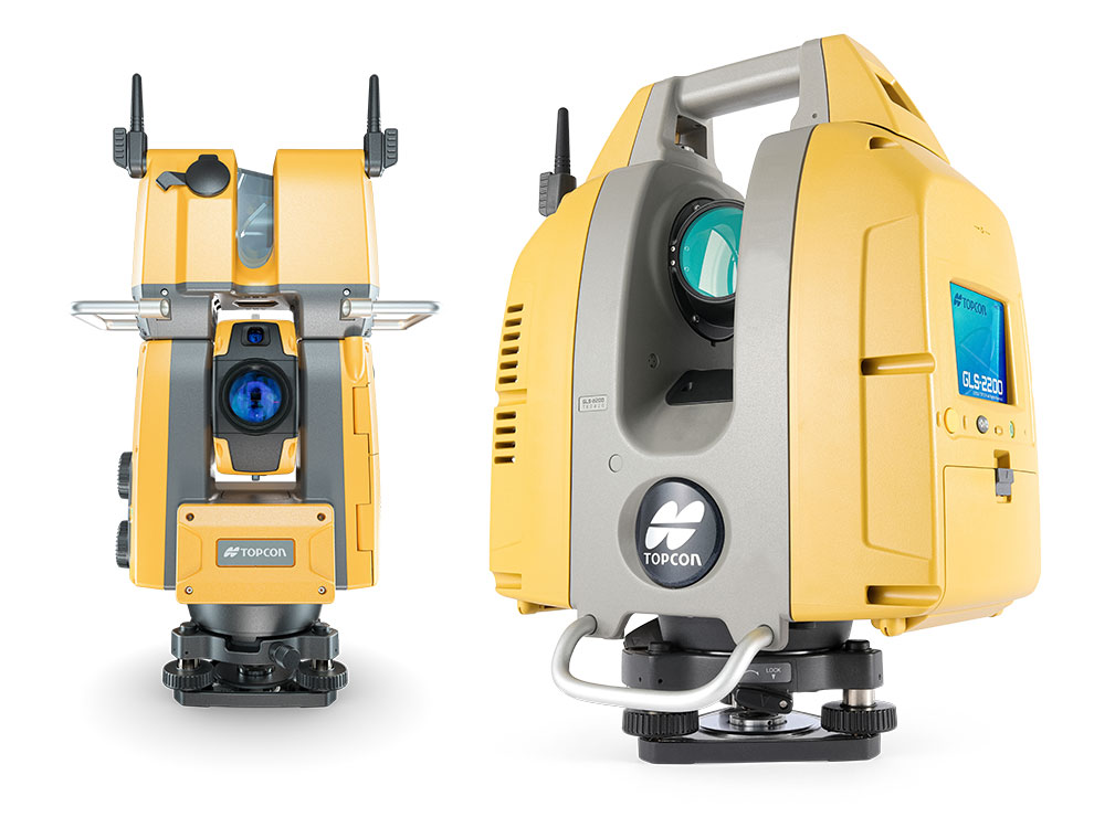
Surveying is a fundamental process in a variety of fields, including civil engineering, construction, and environmental studies. We offer a range of advanced surveying technologies from field surveying and stakeout to infrastructure and deformation monitoring.
“We know there are going to be all kinds of issues that we are going to face in the field, but our Topcon equipment - hardware and software - will not be one of them.”
— Garrett Spease, Affinis Corp Civil Engineering
“Topcon instruments are geared towards construction with products that are more durable, more user-friendly, and built to work better in the real world.”
— Scott Schumacher, Pyramid contractors
No results found.
The latest from Topcon


myTopcon NOW! support
Take your Topcon experience to the next level with myTopcon NOW! This platform is a self-service tool for your desktop or mobile device.


