Find something unexpected for GIS, layout and reality capture

Join Topcon at the Esri User Conference in San Diego on July 13-17, 2026 | Booth #2119

Hero Image

Discover a groundbreaking approach to capture reality and layout

Taking place in San Diego, July 13-17, 2026, the Esri User Conference is the world’s premier gathering for GIS leaders, technologists, and enterprise decision-makers. The event brings together the global geospatial community to explore innovations shaping GIS, spatial analytics, and enterprise system integration across industries. Visit Topcon at Booth #2119 to see how reality capture, processing, and GIS integration come together as one seamless experience.

Advancing geomatics precision for a digital world

Discover how Topcon solutions, delivered through a robust partner ecosystem, help organizations operationalize GIS, accelerate digital transformation, and unlock greater value from spatial data.

Map critical infrastructure with confidence

Streamline GIS and utilities mapping with precise data capture that improves asset visibility, planning and decision‑making.

Scan, process, register and deliver data on-site

Capture asset data at high speeds with immediate on-site analysis and precise 3D mapping

Visualize, process and share point clouds

Use a unified 3D environment to combine, visualize, and publish point cloud data from any source.

Simplify your next layout project

Focus more energy on your layout projects by using a user-friendly tool that dramatically simplifies the manual, old-school steps.

Place points accurately from any angle

Use real‑time interior positioning to place points accurately from any angle, without line of sight or pole leveling.

Coordinate and automate your workflows

Power up your workflows with robust data management, real-time project monitoring, and advanced analytics.

What should you expect from the Esri User Conference 2026?

At the Esri User Conference 2026, explore the tools, technologies, and integrated solutions shaping the future of GIS and connected geomatics ecosystems. The event brings together GIS leaders, innovators, and practitioners for hands-on learning, peer collaboration, and real-world insight. Experience cutting-edge technology, discover innovative workflows in action, and get an exclusive first look at new solutions designed to scale through a powerful partner ecosystem.

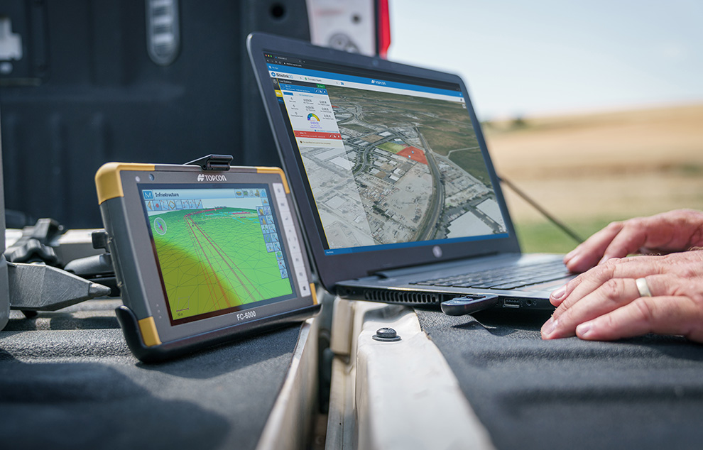
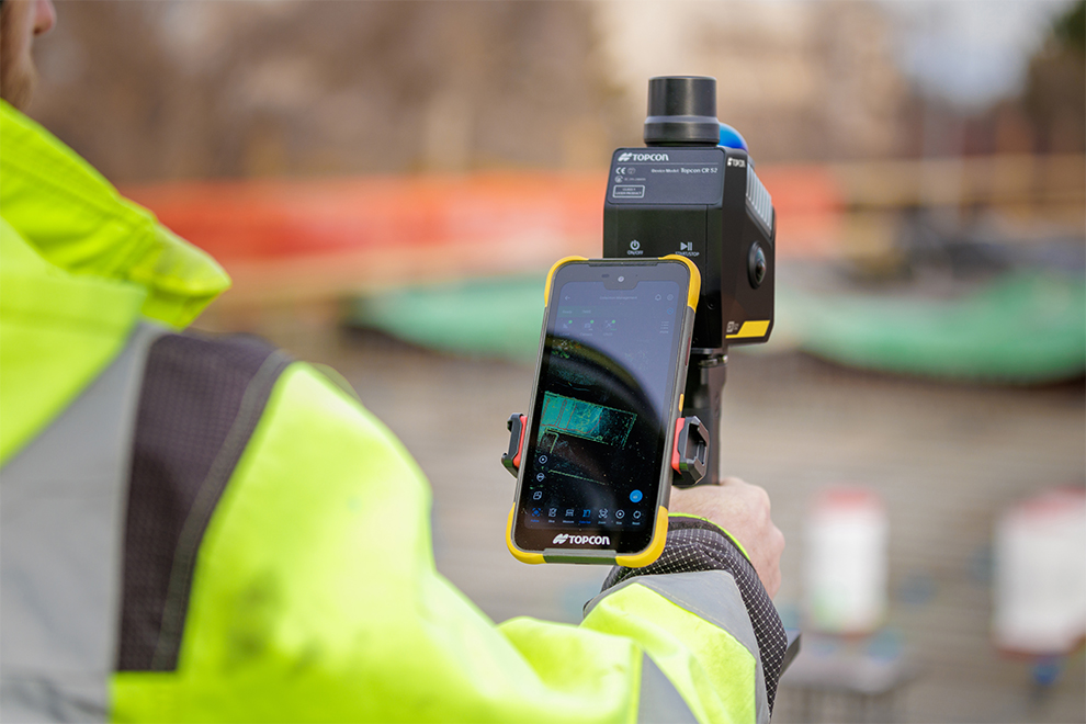
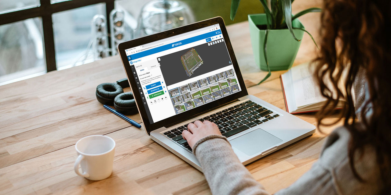
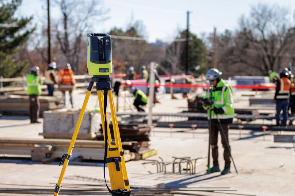
Since precision exists

Precision isn’t just a feature—it’s the foundation. At Topcon, precision is what drives innovation, empowers progress, and brings accuracy to every job site, field, and infrastructure project around the world.
Topcon’s solutions are designed to deliver results where they matter most—in the real world.

Get more information sent to your inbox

If you’d like to learn more about Topcon’s solutions, fill out the form, and we’ll email you more information.

Thank you!