
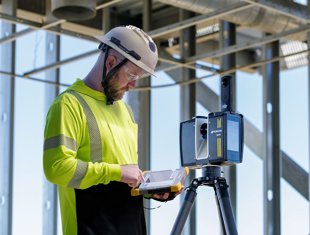
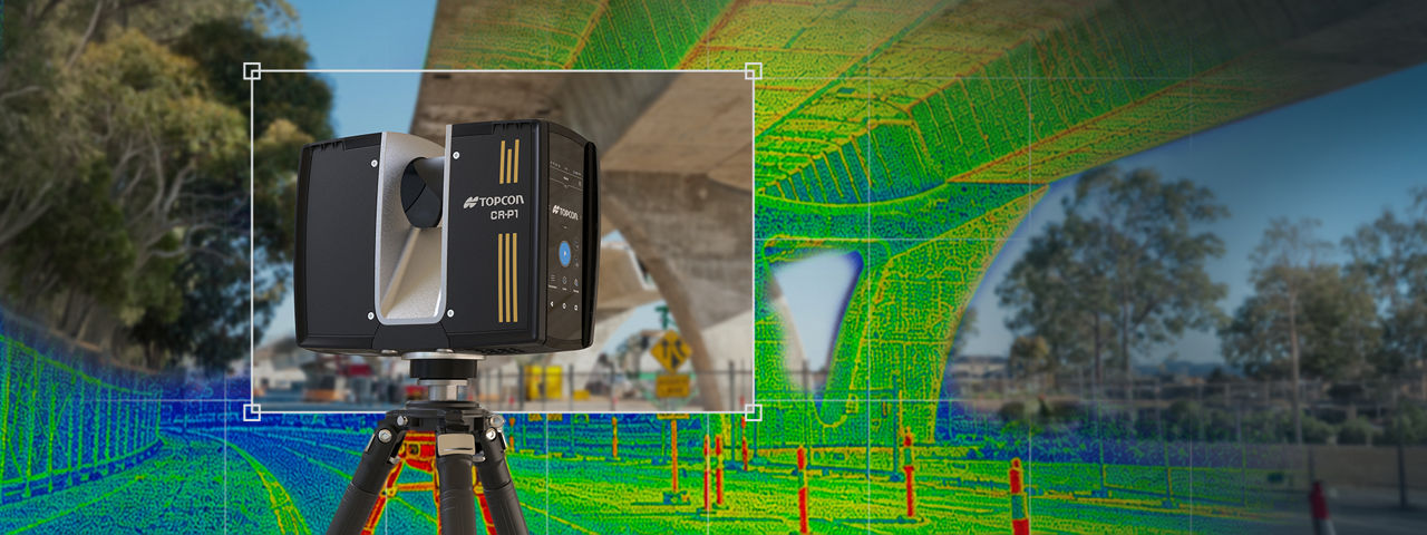
Designed for modern professionals, this all-in-one solution combines advanced laser scanning with user-friendly functionality for exceptional accuracy and efficiency. Its lightweight, durable design performs well in tough environments, while high-speed operation saves valuable time on-site. By capturing high-resolution 3D data, the CR-P1 streamlines workflows and provides clear, actionable results. It helps you work more precisely and efficiently, improving your projects overall.
How does it work?
Scan your environment
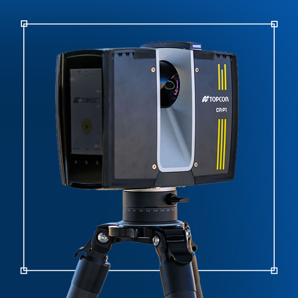
Select the right tool for the job. Our range of scanners allows you to perform high-density and high-speed scanning. Leverage high-resolution cameras for comprehensive site-wide scans and complete data capture.
Process and register on-site
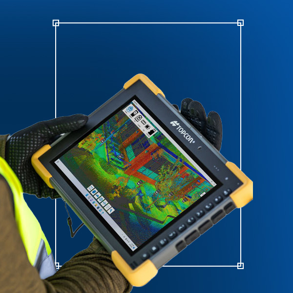
Use our field software to register and process your scans in real-time. With a terrestrial laser scanner, you can instantly verify data coverage and accuracy, ensuring you have a complete dataset before leaving the job site.
Analyze and deliver
Generate customizable reports and perform volume calculations directly in the field. Export the registered point cloud or use innovative techniques, such as Gaussian splatting, to quickly create BIM models and other critical project deliverables.
Time wasted is time lost
Whether documenting existing conditions, capturing building geometry, or scanning complex mechanical spaces, the compact CR-P1 laser scanner delivers fast, high-resolution 3D data. With 2 million points per second and 2 mm accuracy, it produces reliable point clouds in challenging environments, while its lightweight design enables efficient one-person operation. Paired with Topcon Collage Site software, data is registered and processed in real time on-site, allowing teams to verify, share, and use point clouds before leaving the job.
Get connected with sales
Ready to see the CR-P1 in action? Fill out the form below to find a workflow near you and discover your purchasing options.
Thank you!
Read Capture Reality FAQs
After data is captured in the field with the CR-P1, the collected point cloud data is imported into Collage. Once processing is complete, users can extract and edit features using tools for creating polylines, meshes, edges, and planes, while region selection tools make it easy to isolate specific surfaces such as roadways, walls, floors, and ceilings. The processed data can then be shared and collaborated on through Collage Web, a web-based platform for working with 3D point clouds. Finally, point clouds and extracted objects can be seamlessly exported to a wide range of third-party design and analysis applications, enabling an efficient end-to-end workflow from field capture with the CR-P1 through processing, collaboration, and final project deliverables.
3D laser scanners capture highly accurate, high-resolution spatial data to create detailed digital representations of buildings, infrastructure, and job sites. They are commonly used for construction verification, site surveys, BIM modeling, topographic mapping, progress monitoring, and infrastructure assessment.
Modern 3D laser scanners enable high-speed data capture, real-time scan registration, and on-site data verification. This allows teams to identify missing data before leaving the job site, reduce costly rework, improve measurement accuracy, and accelerate project delivery.
Key factors include scanning range, data capture speed, portability, field of view, and the intended application. For example, some scanners are optimized for construction verification and surveying, while others are designed for mobile mapping, infrastructure inspections, BIM workflows, or topographic surveys.
3D laser scanning captures precise reality data that can be converted into registered point clouds and BIM models. By creating an accurate digital representation of existing conditions, project teams can improve design validation, construction verification, facility management, and long-term asset maintenance while reducing errors and rework.
Topcon periodically offers hosted demo events, such as technology tours, roadshows, in-booth experiences at tradeshows and more. Visit this page for information about upcoming events and follow our social media accounts on Facebook, LinkedIn, X, YouTube and Instagram for upcoming announcements. Topcon also occasionally co-hosts demo-focused events with its global network of dealers and distributors. If you would like to learn more about our products and potential demos, please visit this page to talk with an expert near you.