
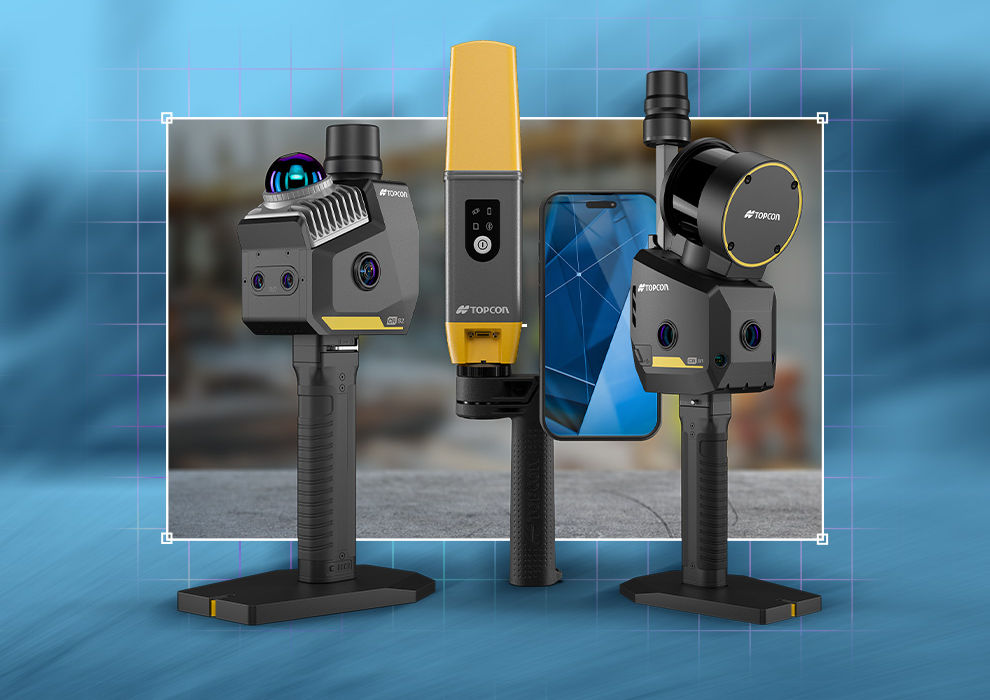
Key factors include scanning range, data capture speed, portability, field of view, and the intended application. For example, some scanners are optimized for construction verification and surveying, while others are designed for mobile mapping, infrastructure inspections, BIM workflows, or topographic surveys.
Capture reality with confidence
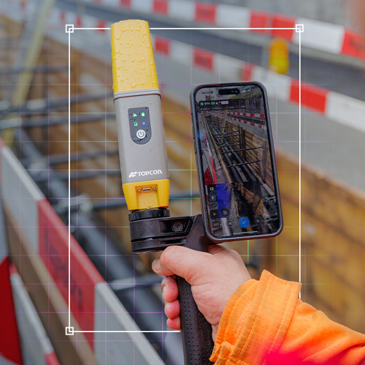
Scan your environment
Choose the right scanner for the task at hand. The CR-H1 delivers fast, accurate integrated imaging and LIDAR to create reliable digital records of your site. With advanced RTK accuracy, dynamic AR visualization, and efficient point cloud workflows, you can unlock insights that drive better decisions.
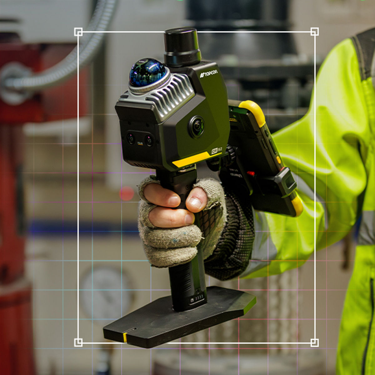
Analyze and deliver
Generate customizable reports and perform volume calculations directly in the field. Export the registered point cloud or use innovative techniques, such as Gaussian splatting, to quickly create BIM models and other critical project deliverables.
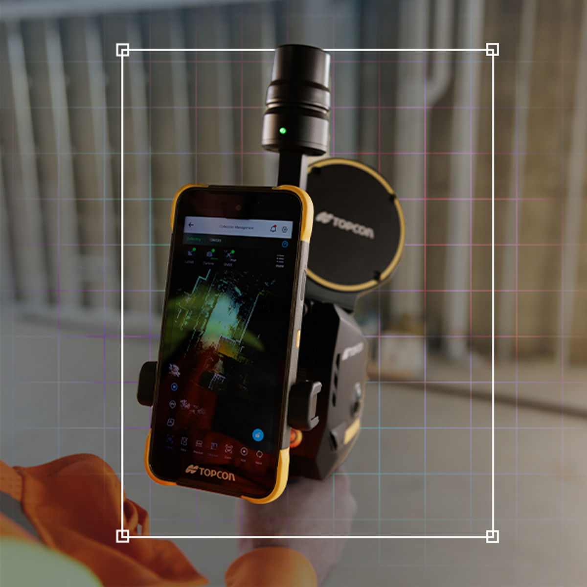
Scan with speed and flexibility
Work faster and smarter with portable, high-performance 3D scanning. Our CR-S1 handheld scanner uses SLAM technology to quickly capture accurate spatial data while you walk, drive, or fly your jobsite, helping you document existing conditions, monitor progress, and create reliable digital as-built records of your site.
Which tool is right for your needs?
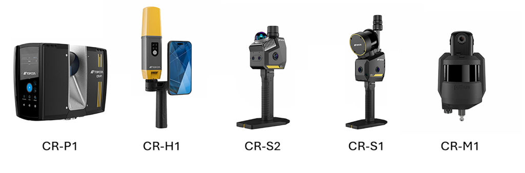
Quick Site Documentation
Lightweight handheld solution for SLAM capture with GNSS accuracy.
Products
CR-H1
CR-S2
CR-S1
High-Precision Building & Structural Scanning
Terrestrial laser scanner with millimeter-level accuracy for detailed as-built documentation and QA/QC.
Products
CR-P1
Large Indoor Spaces / Tunnels
SLAM-based mobile mapping system for rapid capture at walking speed in GNSS-denied environments.
Products
CR-M1
CR-S1
Survey-Grade Mapping in GNSS-Challenged Areas
Combines LiDAR with multi-sensor fusion (MLF-SLAM, VSLAM, RTK-SLAM) for centimeter-level accuracy and real-time colorization.
Products
CR-M1
CR-S2
CR-S1
Infrastructure Assessment
Portable, rugged, and optimized for outdoor environments with survey-grade precision.
Products
CR-P1
CR-M1
CR-S2
CR-S1
Site Progress Monitoring, Stockpile Measurement, and Accident Investigation
Extended range and multi-sensor capabilities make it ideal for complex outdoor scenarios.
Products
CR-H1
CR-S2
CR-S1
Capture reality. With enhanced software.
Automate modeling, simplify verification, and manage complex QA workflows for near real-time results.
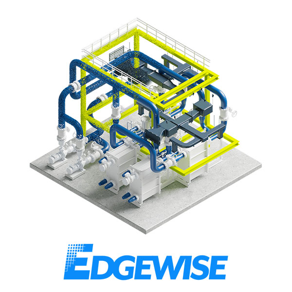
Accelerate projects with ClearEdge3D EdgeWise: This clever tool rapidly extracts model geometry from point clouds, allowing you to complete work with greater speed and accuracy compared to manual methods.
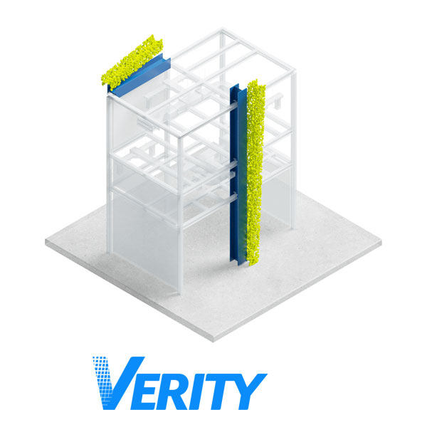
Avoid costly errors with ClearEdge3D Verity: As an automated construction verification and QA/QC tool, Verity compares as-built point clouds to models in Autodesk Revit and Navisworks, identifying mistakes up to 85% faster than traditional methods.
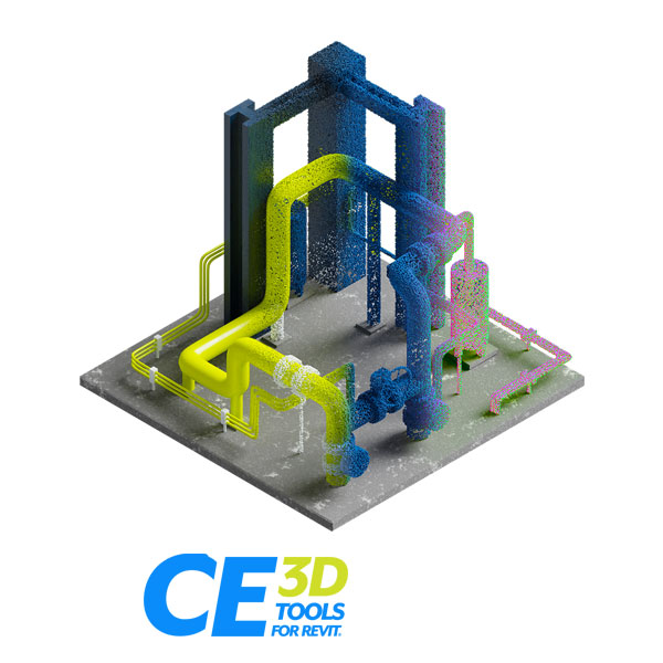
Manage point cloud data effortlessly with ClearEdge3D Tools for Revit: These purpose built, user-friendly tools enhance Revit’s as-built modeling capabilities, helping you unlock new level s of efficiency.
Talk to a Capture Reality expert and find the solution that's right for your workflow
Fill out the form below to receive more information in your inbox
Thank you!
Read Capture Reality FAQs
3D laser scanners capture highly accurate, high-resolution spatial data to create detailed digital representations of buildings, infrastructure, and job sites. They are commonly used for construction verification, site surveys, BIM modeling, topographic mapping, progress monitoring, and infrastructure assessment.
Modern 3D laser scanners enable high-speed data capture, real-time scan registration, and on-site data verification. This allows teams to identify missing data before leaving the job site, reduce costly rework, improve measurement accuracy, and accelerate project delivery.
3D laser scanning captures precise reality data that can be converted into registered point clouds and BIM models. By creating an accurate digital representation of existing conditions, project teams can improve design validation, construction verification, facility management, and long-term asset maintenance while reducing errors and rework.