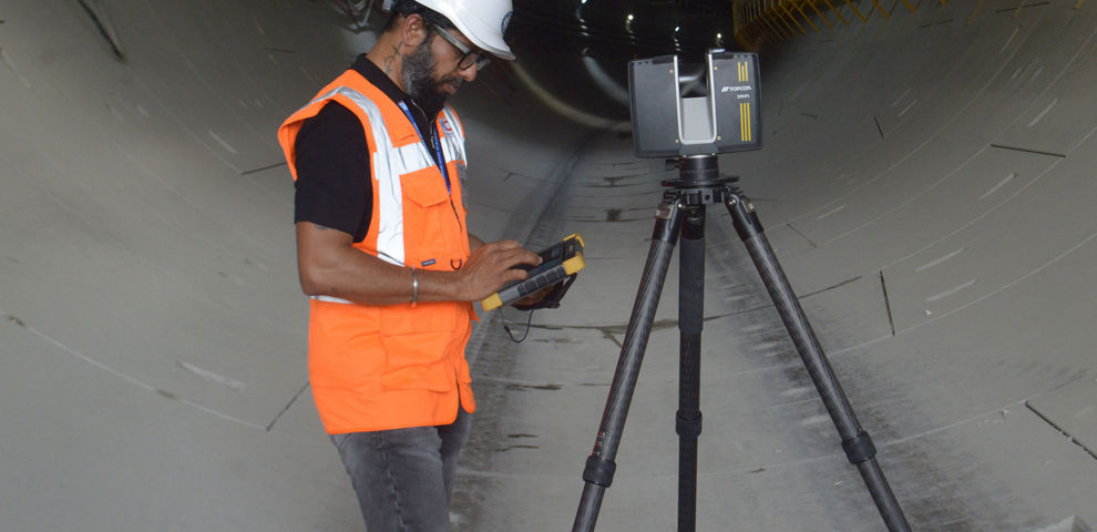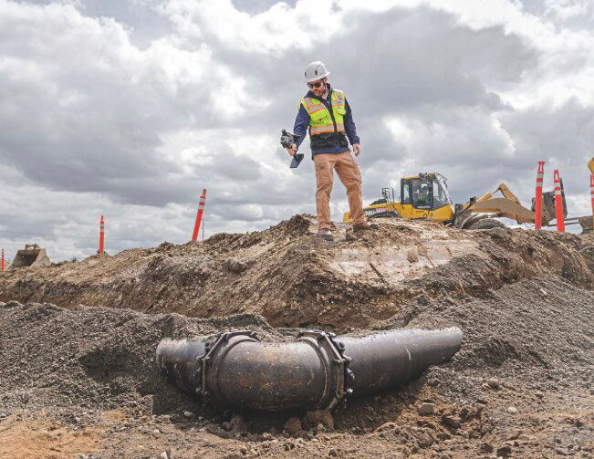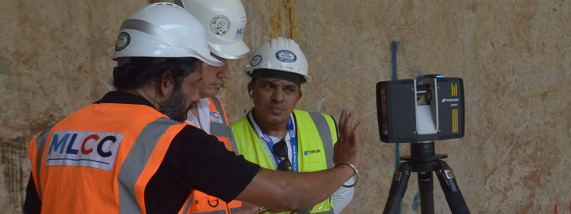
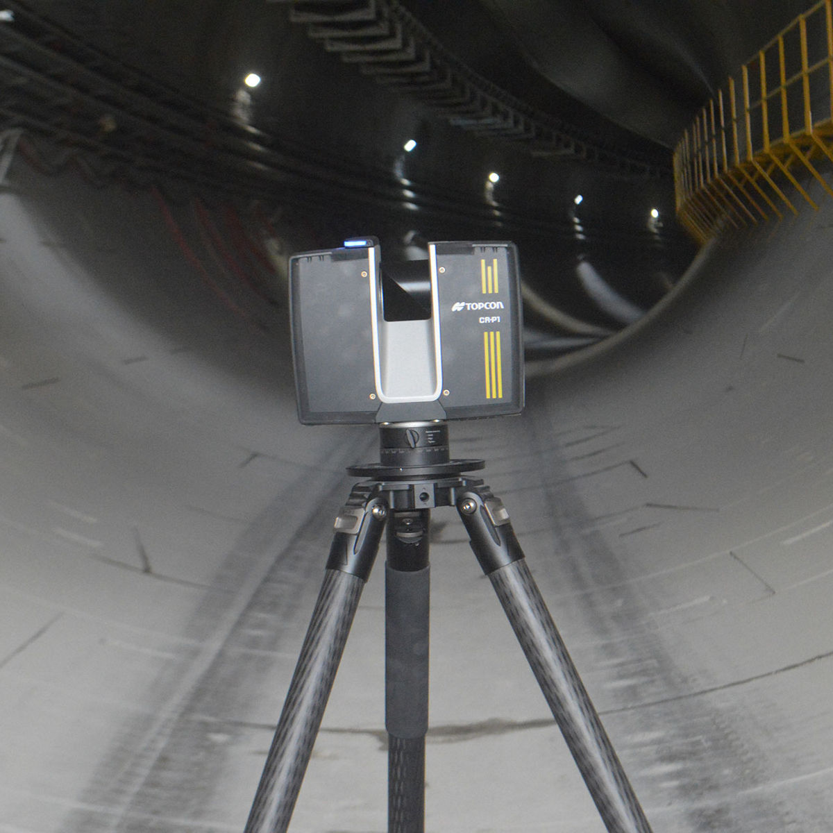
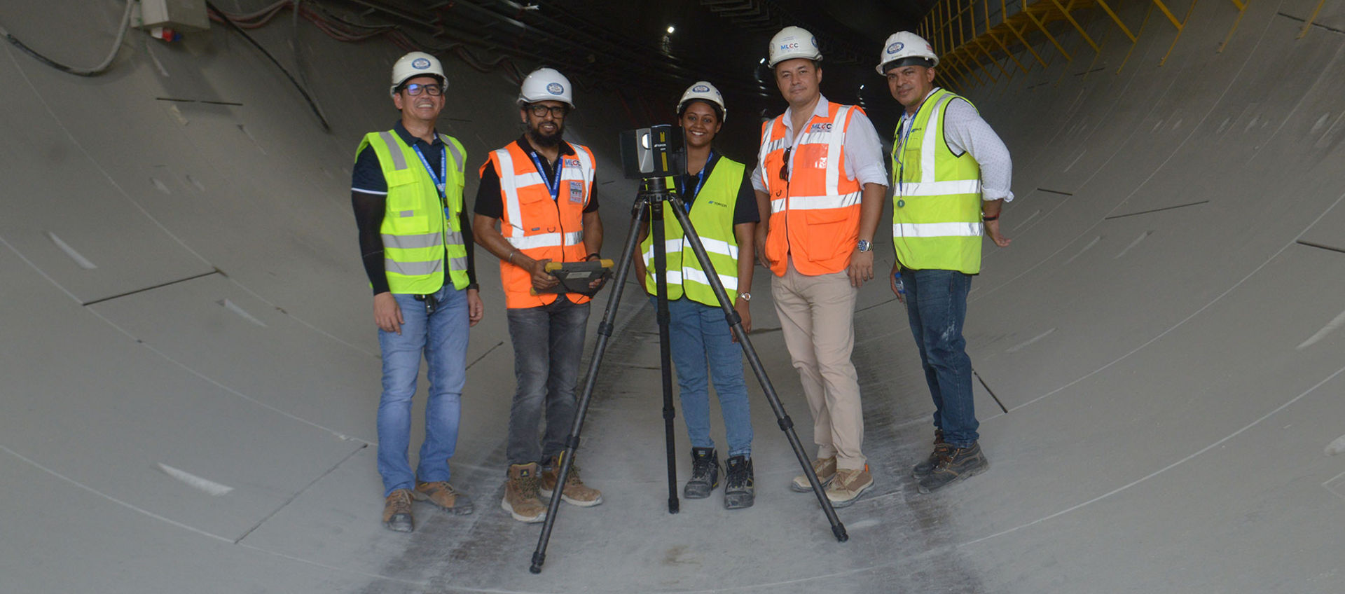
As part of the Dubai Metro Blue Line expansion, the surveying team led by Murat Pehlivan used advanced 3D laser scanning technology to capture high-accuracy data of existing metro stations and infrastructure. Using the Topcon CR-P1 laser scanner and GT-1200 total station, the team achieved positional accuracy under 5 mm and delivered detailed point clouds to support the design and construction of one of Dubai’s most ambitious transportation projects.
- image 1
- image 2
Project Sites and Data Acquisition Method
Rather than relying on traditional surveying methods, the surveying team chose 3D laser scanning as its primary data acquisition method. This enabled the team to capture large and complex structures at a very high level of detail within a three-month timeframe. Scanning work included two existing metro stations, Creek and Centrepoint, formerly known as Rashidiya. These stations are part of the existing Green and Red lines, which will be connected by the new Blue Line.
Each station covers an area of approximately 13,000–14,000 square meters. In addition, the team scanned the R11 multi-story parking structure, covering 150,000 square meters. Scanning work included both the interior and exterior of each facility, including access and entry gates, footbridges, parking areas up to the rooftop level, and bus movement zones. Upcoming scanning work for the Blue Line will include underground tunnels, elevated viaducts, and stations.
MLCC’s Design and BIM department provided Murat Pehlivan’s surveying team with 3D models of the existing stations.
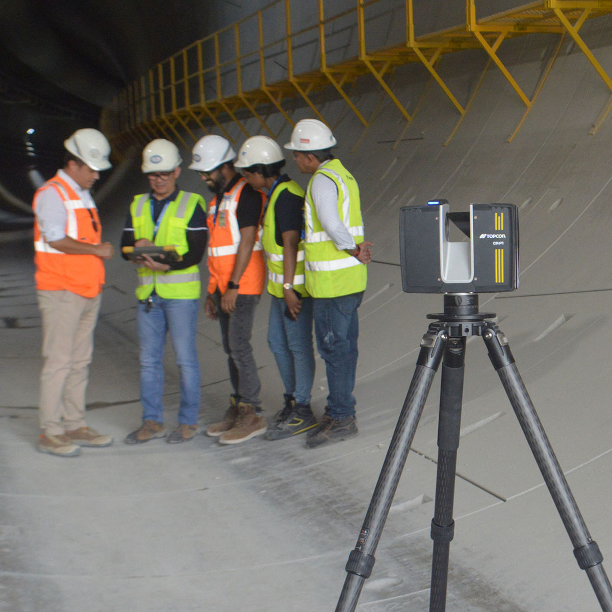
Deploying the Topcon CR-P1 and Collage Site Software
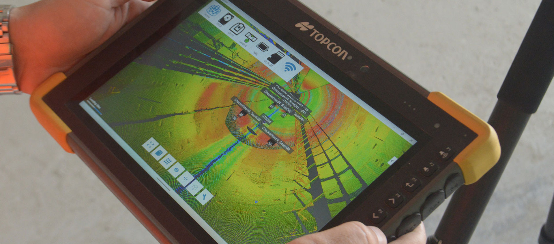
After deciding to use laser scanning for capturing 3D data of the existing structures, Pehlivan began searching for a suitable scanning solution. He was particularly interested in testing Topcon’s latest laser scanning technology, the CR-P1 3D laser scanner, in combination with Topcon Collage Site software. The software allows users to scan, process, and view georeferenced point clouds directly in the field.
“After evaluating the available options, the CR-P1 came out on top for its combination of speed, accuracy, and field-processing capability using Collage Site,” explains Pehlivan. “Another feature I really liked was the ability to immediately review the collected data after completing a scan session using Collage Site. That allowed us to repeat scans immediately if there was any disruption in the data while still onsite.”
A product demonstration was arranged by Topcon and UAE-based Topcon dealer Al Fajer Trading LLC, which left a strong impression on the surveying manager and his team.
“Setup time was less than one minute and required nothing more than mounting the scanner on a tripod,” says Pehlivan. “The user interface was easy to understand, and within 15–20 minutes the surveying team was capturing data onsite without needing additional support.”
Daily Scanning Workflow Overview
The surveying team followed a structured daily workflow to acquire scanning data. First, a series of high-accuracy reference points was generated from the main surveying network and transferred indoors when scanning work took place inside a structure. For outdoor work, reference points were generated directly across the surfaces being measured.
More complex structures, such as facilities with numerous corridors, required additional reference points and therefore more setup time. Next, a Topcon GT-1200 robotic total station was used to transfer the control points generated earlier. Finally, the CR-P1 scanner was set up and scanning operations began.
Ensuring High Positional Accuracy
The robotic total station played an important role in ensuring positional accuracy for the structural and architectural elements within the metro stations. Because the Blue Line is still under construction, surveying activities captured both existing and newly built structures.
These interconnected structures required a high degree of accuracy, which explains the use of the GT-1200 to improve field efficiency and accelerate measurements.
The efficiency gains of using laser scanning instead of traditional methods were significant - what would have taken a three-person team working between two shifts up to six months was completed in just three months by a team of two. A single shift operation that cut labour requirements by approximately 60%.
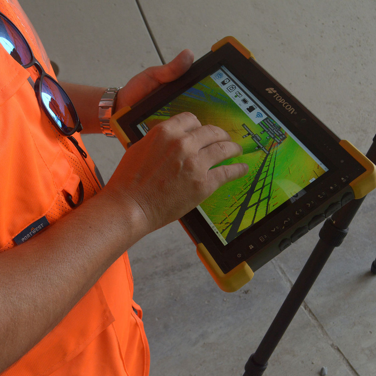
Although the scanning activities initially followed a strict schedule, the team gradually became more efficient and eventually moved ahead of schedule by capturing large volumes of data in a relatively short time.
"The efficiency gains of using laser scanning instead of traditional methods were significant - what would have taken a three-person team working between two shifts up to six months was completed in just three months by a team of two. A single shift operation that cut labour requirements by approximately 60%.", explains Pehlivan.
This project demonstrates how smart workflows can help surveying teams improve productivity onsite, reduce site revisits, and process data directly in the field rather than back at the office.
The benefit of setting a custom processing range
Collage Site has a useful efficiency feature that lets users set a custom processing range during data processing, so the team could focus only on the area of interest instead of processing everything.
This approach helped avoid entanglement, reflective elements, and repetitive surveys by incrementally building upon previous measurement points while ensuring that all data aligned correctly.
After-sales support also proved to be an important factor when the surveying team encountered problems in the field.
“Onsite, when there’s a problem, you can’t simply stop the project — you have to find a solution,” says Pehlivan. “Support from local Topcon dealer Al Fajer was available 24/7, and within two hours a technician was onsite helping us resolve the issue. That was extremely important for us.”