When your business is centered around accident reconstruction and other forensic-based tasks, having the greatest amount of detail at your disposal is key. For years, Momentum Engineering Corp. (MEC) relied upon a total station and prism pole to gather its critical on-scene data, then used that data to reconstruct a particular event or scenario. Looking to improve that effort by eliminating many of its limitations, the company added a laser scanner from Topcon. Doing so has streamlined the info gathering process, reduced the need for re-shoots at the scene, and made available an unimagined level of detail.
Proof is in the Points
Forensic engineering, the ability to reconstruct an accident or mechanical failure to determine its likely cause, is a practice which demands both a solid scientific skill set and a great deal of experience. To better explain the concept of accident reconstruction, company co-founder Ed Fatzinger cites a generic case in which a car goes around a curve, loses control, then goes down an embankment.
“In a case like that, a client—whether it is a party trying to prove driver negligence or a law firm representing the driver trying to cite physical evidence that could have caused the crash—will hire us to survey the crash site in order to get an accurate representation of the curve, the cross-slope in the road, the embankment they rolled down, and so on. We go to the site and gather as much information as possible to accurately recreate the crash scene for our client to plead their case in court.”
Playing in Traffic
In the past, working a case such as that described above would have meant physically surveying the critical areas of the crash site, a time consuming, often risky effort.
“There are a number of shortcomings of manual surveying,” says Fatzinger. “First, you are limited to shooting things at grade. Second, use of a prism pole and total station demands that two people be onsite. Third, you have to be selective with your shots, yet still shoot enough points to get an accurate representation. Working a heavily trafficked site means repeated shots with the prism pole — often the better part of a day dodging traffic. That’s neither time-effective nor safe.”
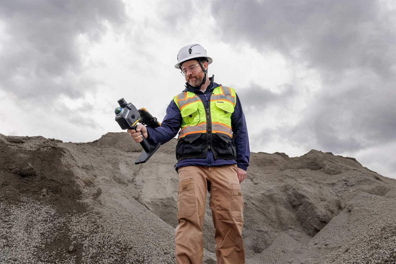
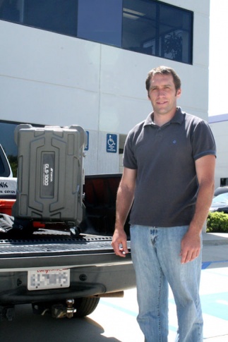
He says that when they saw the capabilities laser scanning offered and saw the quality of work it generated, they knew it was the way to go. “We purchased a GLS-1000 laser scanner and by doing so, dramatically changed the way we do business. We are now able to safely work in heavy traffic conditions. We simply set up the scanner, let it do its thing, bring it back to the office and begin the post-processing that will ultimately give us our reconstruction.”
“Having this tool at our disposal has definitely given us a competitive edge.”
Ed Fatzinger, Co-founder of Momentum Engineering Corp. (MEC)
A Million Points of Light
Fatzinger’s description of letting the scanner “do its thing” refers to the unit’s ability to emit a laser beam that captures data at thousands of points per second at a range of 500 ft. (150m) to a typical surface; with more reflective surfaces, that range is extended to 1100 ft. (330m). The end result is a point cloud that can then be rendered into a 3D image using a secondary CAD program.
“Our approach to working a scene now is far more different than it was in the past,” he says. “The resultant scan from the GLS-1000 is so detailed that you might think you were looking at a photograph. And with that scan, we can literally go in, find lane lines or skid stripes or whatever, and start drawing lines to get our trace. That, in turn, gives us a very accurate 3-D representation of the roadway (or intersection or whatever we’re shooting) which we can then model or put into our reconstruction program. Any information that might have been overlooked with a traditional survey is present and always available in a laser scan.”
Put it in Reverse
In addition to scanning and modeling the crash scene, if the vehicle involved is available, MEC will generally look at it as well, document it and scan it. If that vehicle struck another car, guardrail, wall, etc., they are interested in the amount of crush that is present.
“We will do a series of scans of the car to model it,” says Fatzinger. “We want to know how far, for example, the right wheel got driven back in the crash and we can do that quickly by comparing it to the wheelbase of an exemplar we also have on file. Once we have the car and the scene modeled, we bring it into a collision simulation program called ‘PC Crash,’ start moving cars around, colliding them and asking: ‘What are the speeds? What was its position at impact and at rest? How did it get there? etc.’ We are essentially reverse-engineering the accident.”
He adds that scanning a car using the scanner—shooting about a million points on each side—can be done in about ten minutes.
“By comparison, for a full 360° sweep of an intersection where I need detail throughout, I will increase the number of points, so a scan like that might take 30-35 minutes. In such a scenario, we generally establish three targets, set the scanner, and take photos of the scene. In the photos we can see our targets, so we point to each one and scan, then we do our full scan. “
They then move the unit to another location in the intersection and repeat the process: taking the pics, selecting the targets and scanning again, before lacing the individual scans together using ScanMaster software.
“Having this tool at our disposal has definitely given us a competitive edge,” says Fatzinger. “Many smaller firms probably can’t justify the capital investment. But, because of the volume of work we do, the detail that we need, and the results we’ve gotten — we definitely can.”