Looking for your apps? Click the account icon in the upper right corner of the page.

Manual total stations keep you on point

Measure distances and angles for engineering, survey and construction

Hero Image

Why use a manual total station?

Manual total stations help surveyors, engineers, and construction workers measure distances and angles for a variety of projects, such as construction, mapping, engineering, and land surveying.

Why use a manual total station?

Surveying uses

Manual total stations are often used by surveyors to create three-dimensional maps of project areas, designs, volume calculations, and to verify as-built conditions or property boundaries.

Surveying uses

Construction uses

Total stations are also used in construction to lay out jobsites, check elevations, calculate the exact dimensions of structures, and to ensure that equipment and fixtures are installed in the correct locations.

 Construction uses

Civil engineering uses

Civil engineering projects often use these surveying instruments for mapping sites and measuring bridges, buildings, roads, railroad tracks, bodies of water, and critical infrastructure.

Civil engineering uses

Which manual total station is right for your job?

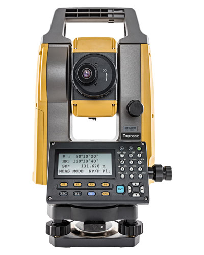
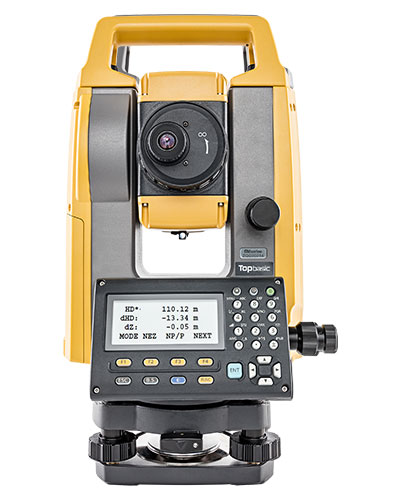
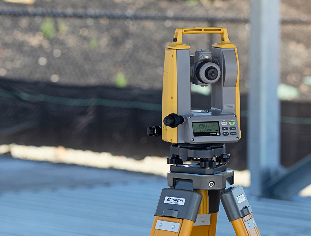
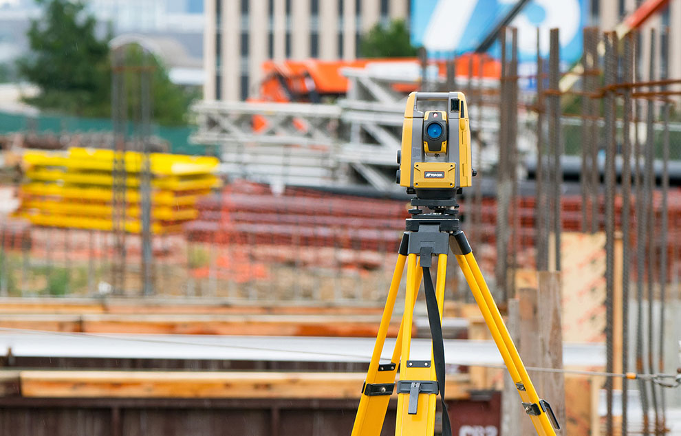
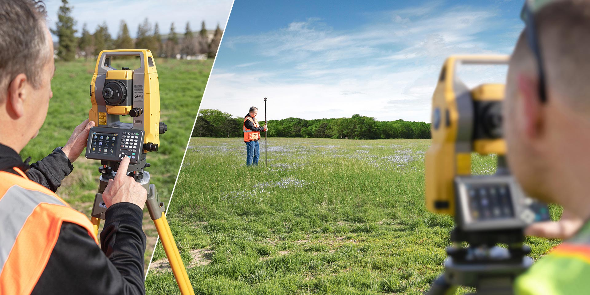
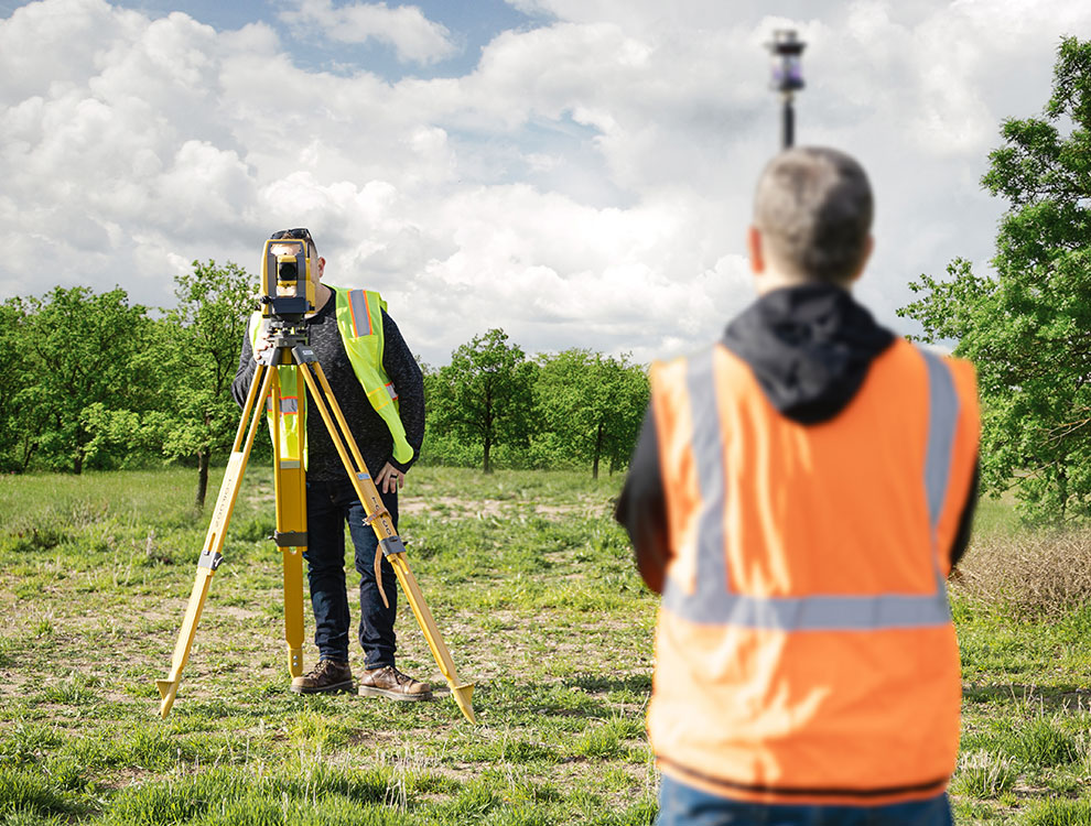
Topcon’s GM-Series and OS-Series total stations operate with or without prisms (reflectorless), and feature powerful electronic distance measuring devices (EDMs), strong battery lives, and ample memory. They are also designed for rugged use and water resistance.

Choosing the right total station for your application involves considerations such as range, accuracy requirements, software functionality, and other factors. The following chart outlines key specification differences in Topcon’s manual total station lineup. If you are looking for solutions for one-person surveying jobs, machine control, or laying out large numbers of points, you may want to look at robotic total stations.

GM-50

GM-50

Angle Accuracy

2” and 5”

Distance

Prism: 4000 m
Reflectorless: 500 m

Ideal uses

Cost-effective staking, layout, site
and field survey

Onboard MAGNET with Windows® OS

No

Color display

No

Dust and waterproof rating

IP66

GM-100

GM-100

Angle Accuracy

1”, 2”, 3” and 5”

Distance

Prism: 6000 m
Reflectorless: 500 m

Ideal uses

Staking, layout, site
and field survey

Onboard MAGNET with Windows® OS

No

Color display

No

Dust and waterproof rating

IP66

OS-200

OS-200

Angle Accuracy

1”, 2”, 3” and 5”

Distance

Prism: 6000 m
Reflectorless: 1000 m

Ideal uses

Staking, layout, site
and field survey

Onboard MAGNET with Windows® OS

Yes

Color display

Yes

Dust and waterproof rating

IP65

Onboard workflows that take you further

Onboard MAGNET software makes surveying and staking tasks easier. Its user-friendly interface and extensive capabilities enable fast and productive workflows. Combined with the OS-200’s accuracy and doubled reflectorless range, it offers a peak performance solution suitable for a full range of applications and project types.

Onboard workflows that take you further

Related offerings

Get in touch

Thank you! We will be in touch.