
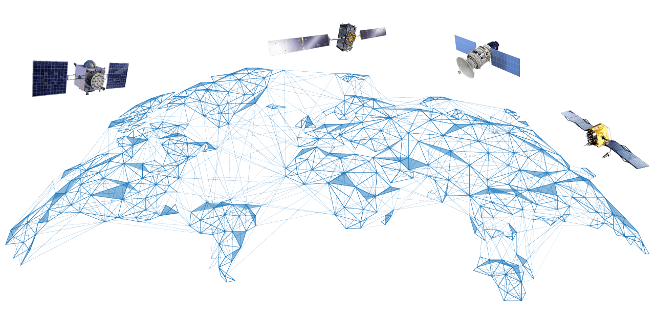
The Topcon reference station network uses five GNSS satellite systems: GPS, GLONASS, Galileo, QZSS, and BeiDou. This ensures the best global coverage, accuracy, and reliability.
Services for wherever work takes you
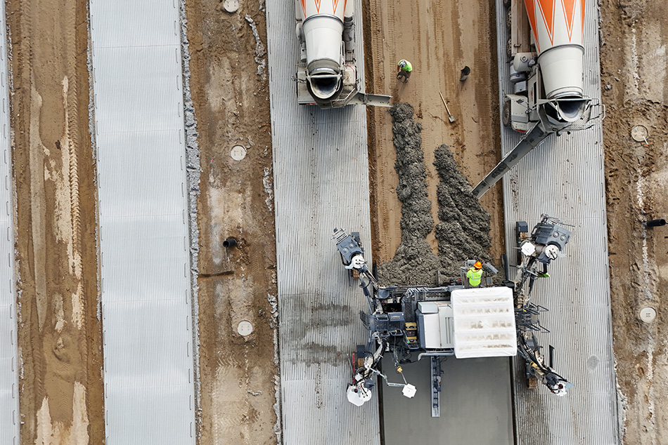
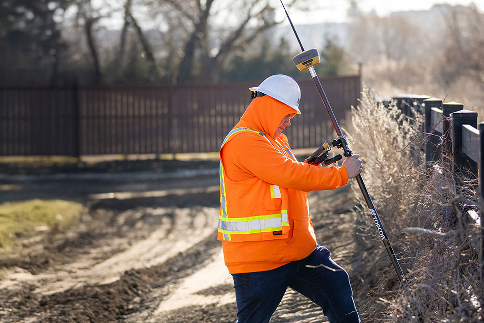
Topnet Live is a global GNSS correction service that delivers positioning data to surveyors and construction teams whose projects use satellite positioning. Roving surveyors and construction workers, along with heavy construction equipment with satellite navigation systems, use this service for high-accuracy applications such as field surveys, jobsite layout, earthworks, paving, and as-built reporting.
Full-constellation service
What are RTK and PPP, and why do they matter?
RTK (Real-Time Kinematic positioning)
Realpoint uses a network of regional reference stations to enhance satellite positioning data. Start-up time is nearly instant when in range of the network.
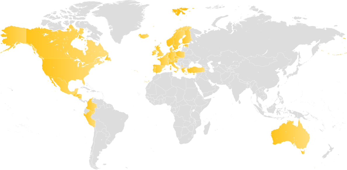
Constant coverage
SkyBridge provides seamless PPP infill support in areas where RTK coverage is limited.
PPP (Precise Point Positioning)
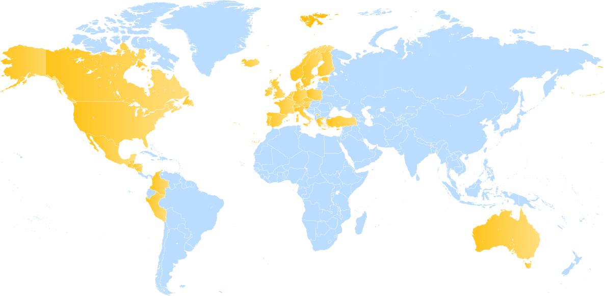
Starpoint Pro calculates positions at the centimeter level using a single receiver in a global reference framework. It has a slower start-up speed, but provides service anywhere on the planet, independent of local networks.
Topnet Live service options
Choose RTK, PPP, or bridge both with borderless service that automatically switches between regional GNSS reference networks. Several subscriptions are available on the Topnet Live website.
Realpoint
Description
Provides network RTK accuracy and a quick start-up time where Topnet Live is available
Correction type / delivery
RTK via cellular network
Coverage
Regional
Accuracy
2 cm
Initialization time
Seconds
Supported field software
Topcon Field
Pocket3D
3D-MC
Skybridge
Description
Provides and maintains positional accuracy when RTK services are interrupted
Correction type / delivery
Corrections via satellite
Coverage
Regional or local
Accuracy
Infill for RTK
Initialization time
Automatically activates when
RTK signal is lost
Supported field software
Topcon Field

Starpoint Pro
Description
Provides PPP service anywhere on the planet, independent of local
networks
Correction type / delivery
Correction type / delivery
Coverage
PPP via L-Band or NTRIP
Accuracy
3-6 cm
Initialization time
< 5 minutes
Supported field software
Topcon Field
What's your application?
Learn about GNSS receivers and machine control systems that work with Topnet Live.


Learn more about why you can trust Topnet Live
Related offerings


Get in touch
Thank you! We will be in touch.