Looking for your apps? Click the account icon in the upper right corner of the page.

Layout sites faster and control machines with robotic total stations

Be a one-person surveying and layout team or execute machine control jobs

Hero Image

Why use a robotic total station?

Robotic total stations help measure distances and angles for a variety of projects, such as construction, mapping, engineering, and land surveying. In addition to measuring, these versatile instruments can also interact with machine control platforms to provide precision 3D operation, even when satellite signals are not an option.

Why use a robotic total station?

Surveying uses

Robotic total stations are often used by “single-person surveying teams” to create three-dimensional maps of project areas, designs, and volume calculations; to verify as-built conditions or property boundaries; and to check grade.

Surveying uses

Contractor layout and measuring

Robotic total stations can be used to stake out jobsites, lay out points on concrete decks, check elevations, calculate building dimensions, and to ensure that equipment and fixtures are installed in the correct locations.

Contractor layout and measuring

Construction verification

GTL-Series instruments also include a built-in scanner that can help VDC teams generate point clouds to verify construction quality in comparison to BIM model dimensions.

Construction verification

Civil engineering uses

Civil engineering projects often use robotic total stations to measure angles and lengths of bridges, buildings, roads, railroad tracks, bodies of water, and critical infrastructure. MS-Series instruments can also be used for structural health, displacement and deformation monitoring.

Civil engineering uses

Machine control uses

Total station machine control or LPS (local positioning systems) can be used with 360-degree prisms mounted to heavy construction equipment when precise location and height information are critical and satellite positioning methods are not ideal. Heavy tree cover, tunnels or other jobsite conditions where the sky is obstructed are all popular scenarios for LPS use.

Machine control uses

Stay connected via line of sight and GNSS/GPS

Hybrid Positioning™ technology combines GNSS (sometimes called GPS) positioning and optical robotic measurements on one rover pole. Finish projects quickly and accurately by easily switching between prism- and satellite-based measurement modes when you lose line-of-sight or satellite reception, or as you encounter other jobsite challenges.

Stay connected via line of sight and GNSS/GPS

Which robotic total station is right for your job?

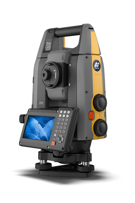
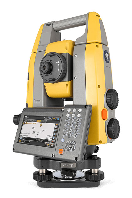
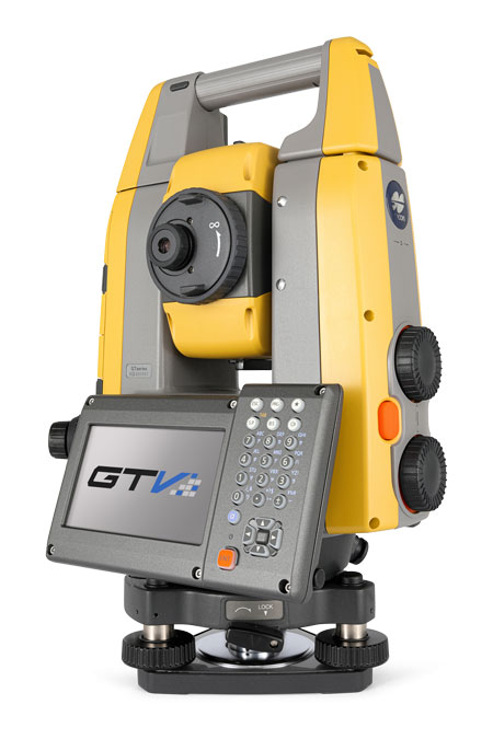
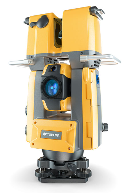
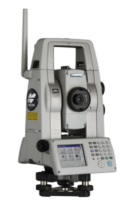
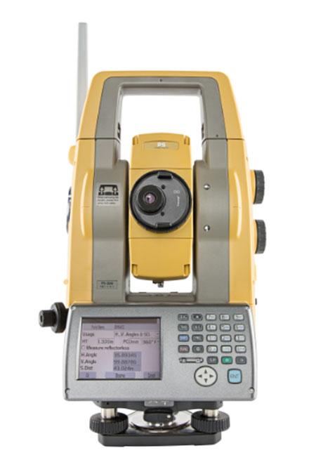
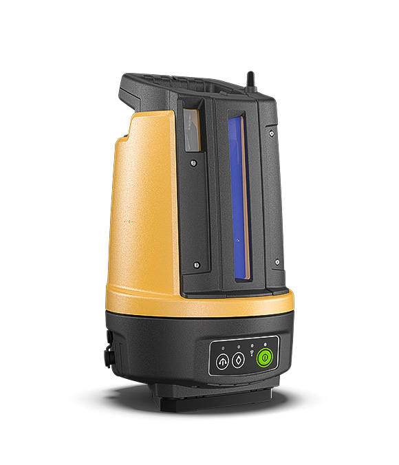
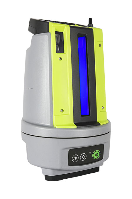
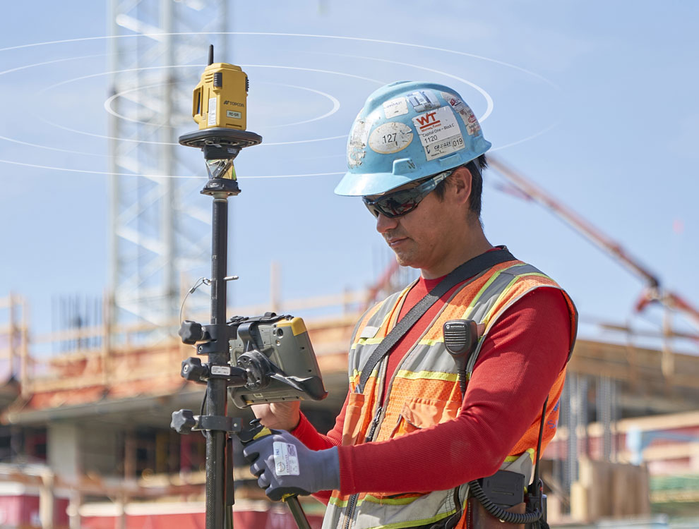
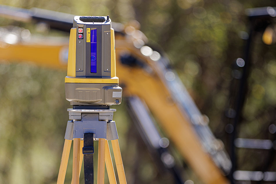
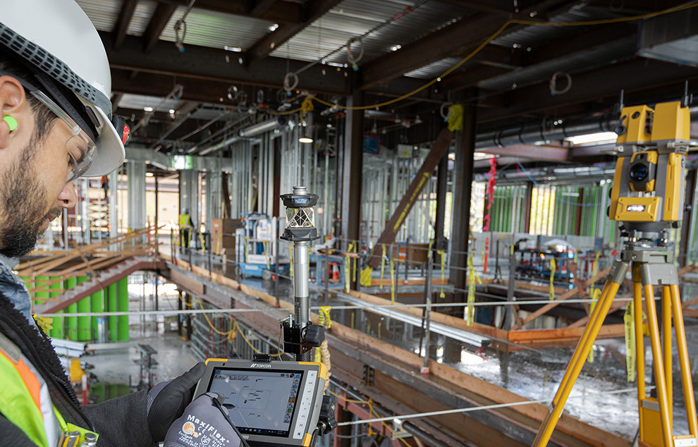
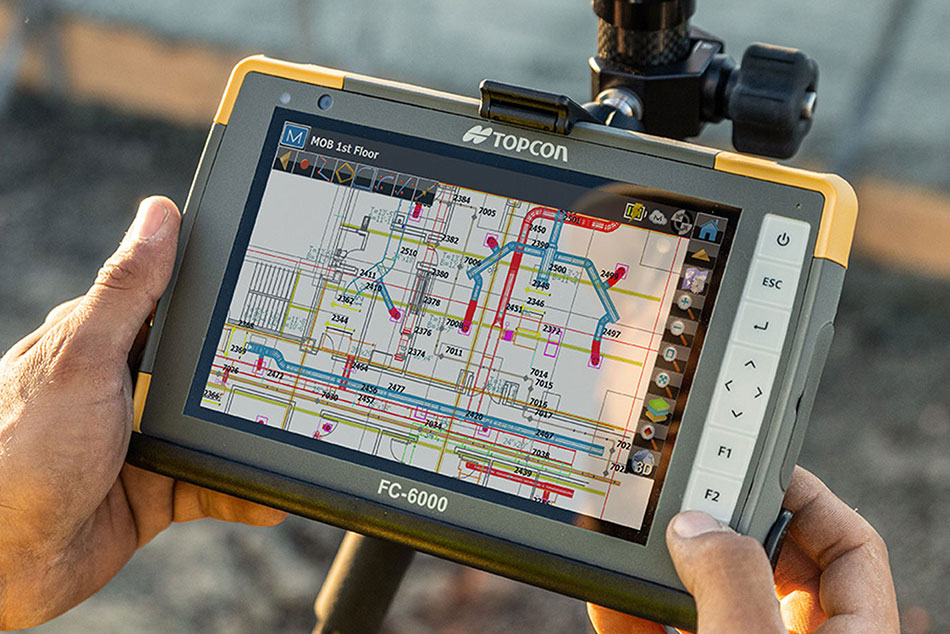
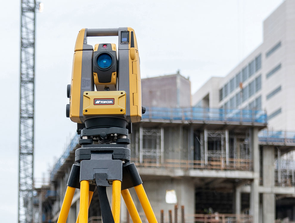
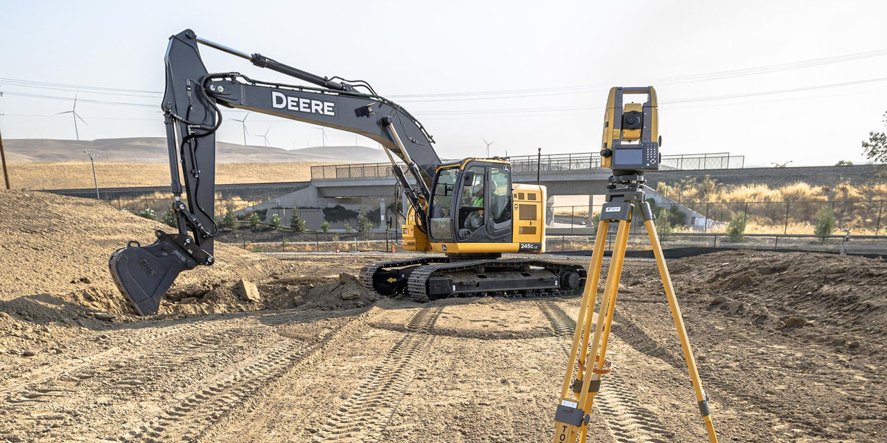
Topcon’s GT-Series, LN-Series, GTL-Series and MS-Series total stations feature powerful electronic distance measuring devices (EDMs), strong battery lives, advanced prism tracking, Bluetooth and Wi-Fi communication modes, and ample memory. They are also designed for rugged use and water resistance.

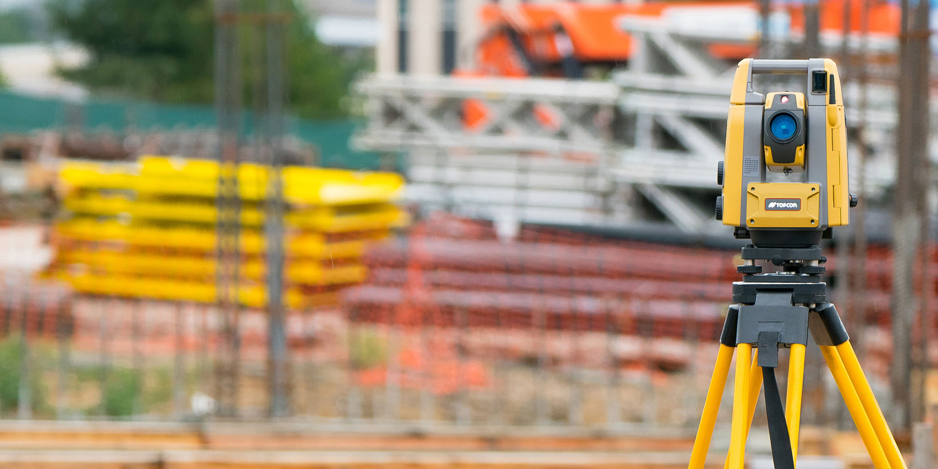
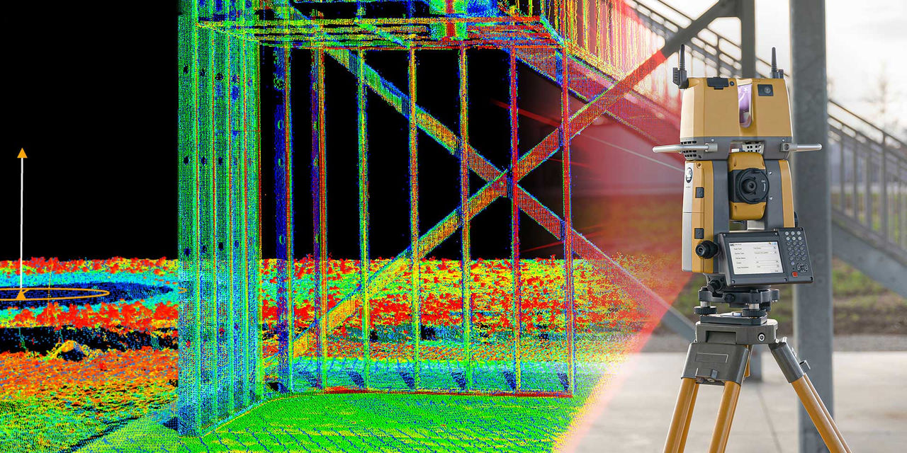
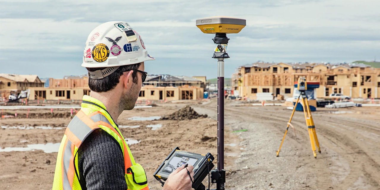
Choosing the right equipment for your application involves considerations such as range, accuracy requirements, Hybrid Positioning capabilities, and other factors. The following chart outlines key specification differences in Topcon’s robotic total station lineup.

GT-1200/600

Ideal uses

Site and field survey, layout, grade checking, staking, machine control

Angle Accuracy

GT-1200: 1”, 2”, 3”
GT-600: 2”, 3”, 5”

Distance - prism

GT-1200: 5000 m
GT-600: 4500 m

Distance - non-prism (reflectorless)

GT-1200: 1000 m
GT-600: 800 m

Hybrid Positioning

Yes

Self-leveling single-button setup

---

RC-5A compatibility

Yes

Dust and waterproof rating

IP65

Laser plummet

Optional

GTL-1200

Ideal uses

Construction verification, scanning, site and field survey, layout, staking

Angle Accuracy

2”, 3”
 

Distance - prism

6000 m
 

Distance - non-prism (reflectorless)

1000 m
 

Hybrid Positioning

Yes

Self-leveling single-button setup

---

RC-5A compatibility

---

Dust and waterproof rating

IP65

Laser plummet

Optional

MS AXII

Ideal uses

Monitoring, the highest accuracy site and field survey, staking, lay out

Angle Accuracy

0.5”, 1”
 

Distance - prism

3500 m
 

Distance - non-prism (reflectorless)

100-400 m
Reflective sheet: 200 m

Hybrid Positioning

---

Self-leveling single-button setup

---

RC-5A compatibility

Yes

Dust and waterproof rating

IP65

Laser plummet

Optional

PS-200

Ideal uses

Machine control
 

Angle Accuracy

1”, 3”

Distance - prism

6000 m

Distance - non-prism (reflectorless)

1000 m

Hybrid Positioning

---

Self-leveling single-button setup

---

RC-5A compatibility

Yes

Dust and waterproof rating

IP65

Laser plummet

Optional

LN-150

Ideal uses

Easy setup and cost-effective layout, grade checking, machine control

Angle Accuracy

5"

Distance - prism

130 m

Distance - non-prism (reflectorless)

---

Hybrid Positioning

Yes

Self-leveling single-button setup

Yes

RC-5A compatibility

---

Dust and waterproof rating

IP65

Laser plummet

Standard

LN-50

Ideal uses

Easy setup and cost-effective layout for building contractors

Angle Accuracy

5"

Distance - prism

50 m

Distance - non-prism (reflectorless)

---

Hybrid Positioning

Yes

Self-leveling single-button setup

Yes

RC-5A compatibility

---

Dust and waterproof rating

IP65

Laser plummet

Standard

Lock onto your prism quickly and easily

If you have worked on a busy jobsite, you know obstructions can sometimes break the lock between your total station and a pole-mounted prism. The process of reacquiring this lock can cause delays and downtime.

The RC-5A accessory provides the fastest and simplest way to relock the connection to the prism when line of sight has been interrupted. Simply tap the field software once, and the robotic total station will detect the fan-shaped laser beam emitted by the RC-5A and relock within seconds.

  • 300-meter, single-tap prism acquisition
  • Extends instrument communication to 600-metres using Longlink™
  • Ruggedized IP-55 rating
  • 40-hour battery life
Lock onto your prism quickly and easily

"You know there are going to be all kinds of issues that we are going to face in the field, but our Topcon equipment ꟷ hardware and software ꟷ will not be one of them.”

- Garrett Spease, Land Surveyor, Affinis Corp Civil Engineering

Related offerings