Looking for your apps? Click the account icon in the upper right corner of the page.

Laser Scanning Provides Benefits in Central Florida Levee Structure Project

Hero Image

As laser scanning continues to grow in popularity within the construction realm, users are finding new and more varied ways to benefit from this innovative approach. For Blue Goose Construction (BGC), that recently meant augmenting traditional survey approaches in a central Florida water treatment project with a high-density laser scanning system. For Blue Goose it proved an opportunity to further evaluate the strengths of the technology; by project’s end they were convinced they’d found a valuable, benefit-driven solution.

Restoration Innovation

Because of both its south-central Florida location and excellent reputation, BGC has been successful at landing a series of projects associated with the Upper St. John’s River Basin Project, including one called the Fellsmere Water Management Area (FWMA) located about 25 miles west of Vero Beach, Florida.  When complete, the FWMA will add an additional 10,000 acres of restored wetlands to the headwaters of the St. John’s River. According to Jay Wise, manager of BGC’s GPS and technical department, they’ve been involved in a series of projects in that area since about 2008 but this latest component is a bit of a departure.

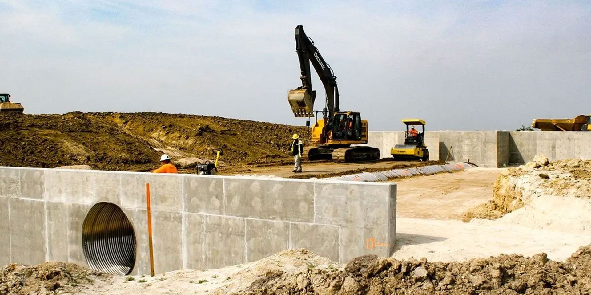
“Our part of the overall project for the FWMA includes construction of 12.5 miles of levee, and within that levee, we are building a number of structures that allow water to pass through in a controlled manner,” he says.  “It was on one of those that we decided to go a step further than we normally do in generating our as-builts. In the past, once we were at a point where we needed an as-built, we would call in surveyors and they would take a shot on each corner and a shot on the invert of the pipe — that was it. From that info, we would have to interpret all the data that lies in between those few shots. It’s really limited in scope.”

Wise knew there had to be a better way and suspected that the solution they needed was already in their inventory — it just hadn’t been tried yet.

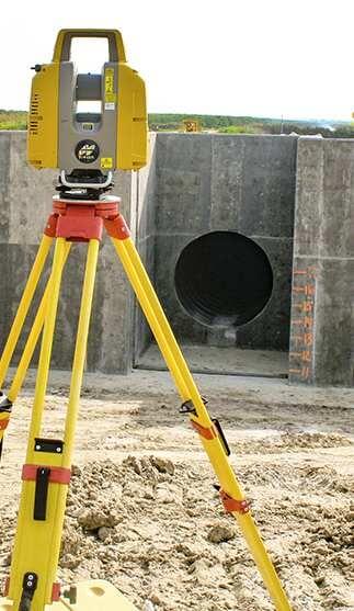
“For a different job we will be starting not far from here, we had recently purchased a Topcon GLS-2000 laser scanner,” he says. “That project, the massive South Florida Water Management District’s C-44 canal near Lake Okeechobee, came with a prerequisite that, to even bid on the job, a company must either have a scanning capability or subcontract to a firm that did. That’s the first time we’ve ever faced that, but I sense it won't be the last —the technology and the solution it provides are making huge inroads.”

“The big plus for us, is that we now have more than five million points to look at from any given angle and from which to gather info — not just today or next year but long down the road.”

Manager of BGC’s GPS and technical department, Jay Wise

One-Touch Results

The solution to which Wise refers, a Topcon GLS-2000 compact high-speed 3D laser scanner, offers them a wealth of benefits which he feels will make many parts of their job faster, safer and more cost-effective. Capable of capturing point cloud data at a rate of up to 120,000 points per second at a distance up to 350 m (varied and user-selectable), and offering a simple one-touch operation, the instrument did not disappoint, according to Wise.

“We built the structure using existing control points and localization that ties us into state plane coordinates,” he says. “Then we set up the GLS-2000 and started the scanning session. In total, for the exterior of the structure we did six different setups. We then took two final shots on the inside of the 84-inch diameter pipe and we had what we felt was everything we needed.”

When scanning was complete, Wise saved the data to an onboard SD card and brought it back to BGC’s offices where it was downloaded and imported into ScanMaster, the Topcon software used for managing, cleaning and geo-referencing the point cloud data. With the data exported to a .dwg file, they were then able to import it into AutoCAD and place the resultant image over the design drawings to get a spot-on comparison between the final product and what was designed.

“The big plus for us, is that we now have more than five million points to look at from any given angle and from which to gather info — not just today or next year but long down the road,” says Wise. “This provides a highly-accurate representation that they anyone easily refer back to.”

Safety Conscious

Even though their scanning proficiency is admittedly still in its early stages, Wise says they’ve already had a scenario in which the technology proved its value.

“At a project not too far from this one, the customer wanted to see if an existing power line was going to meet the 18-foot requirement for distance between it and the crown of a new road being built,” he says. “Normally, that would mean getting someone in a man lift to get close, or using a grade rod to determine the height. However, because we had already done a pre-construction scan, I opened up the scan and there it was. We not only got the results we needed in a much faster and safer way, we also saved on manpower and equipment use.”

He adds that they foresee scanning playing an important role in other areas such as volume calculations, elevation verifications, and more. “The key is that, once you have the data scanned and saved, it can serve a world of purposes. We are already a much stronger company in certain areas than we were before and that will just continue to grow with our proficiency. This is an excellent tool to have; it’s the technology that keeps on giving.”