Like a Rock
Specialists in soil stabilization, modification, full depth reclamation (FDR) and asphalt pulverization, Rock Solid has more than a decade’s experience tackling projects both large and small. Based in the Upper Midwest (Genoa City, Wisconsin), the company has performed services in 21 states ranging from California to New York and North Dakota to Texas. Their experience, particularly with FDR, led to a contract with the City of San Antonio to totally rehab the Woodlake thoroughfare, according to Topcon Positioning Systems’ Mark Larranaga, senior manager for paving and software business development.
“Because this road was so badly damaged — far beyond what is considered normal wear — the city decided that a standard ‘mill-and-fill,’ in which the surface course is removed and replaced, would not suffice,” he said. “Instead, they opted for the full-depth reclamation, an approach in which the pavement and a portion of the underlying materials are pulverized and mixed with a stabilizing agent to strengthen the entire structure prior to the repave.”
He added that the benefits to doing so are many, including the fact that there is no material to haul off site, resulting in a direct cost savings. Also, because the sub-base is being strengthened, the risk of future failure is minimized.
“There were also some inherent road issues that could be resolved in the road redesign process,” said Larranaga. “For example, there was a flat spot in one area in which water was regularly pooling — the same condition more than likely existed in the sub base as well. They were confident that adding a uniform crown and 3% slope to it would alleviate that problem.”
Going Mobile
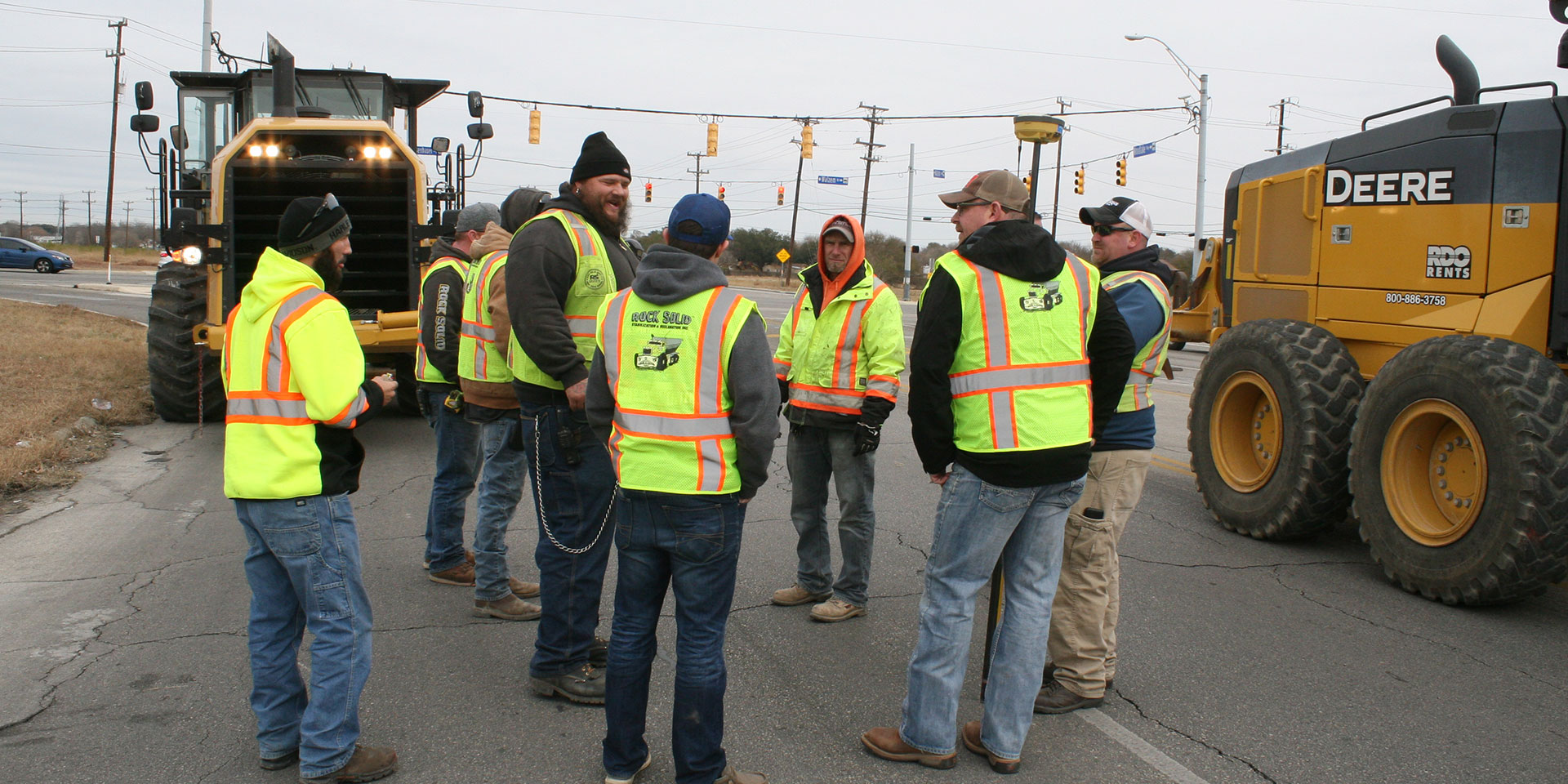
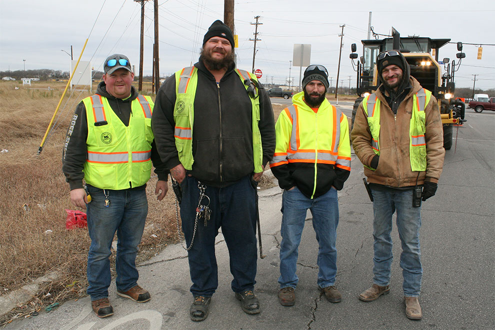
Long before the FDR process could begin, however, an initial survey of the full 1.3 miles of road was needed to determine the best design, including crown, slope, desired curb reveal, etc. To do that, Jonathan Pease, Rock Solid’s founder and president, worked with representatives from Topcon and its Carol Stream, Ill.-based Topcon Solutions Store to utilize an alternative to traditional road surveying techniques.
“Jonathan is always interested in pursuing new technology and problem-solving solutions,” said Larranaga. “We felt this was both a great opportunity and a perfect application to showcase the strengths of the SmoothRide paving solution. They needed more than a mile of road surveyed and this LIDAR-based solution collects a constant stream of data, resulting in a precise representation of surface conditions.”
Points to Success
In the initial phase of the overall Smooth Ride process, a downward-facing LIDAR scanner mounted on the back of a vehicle — working in concert with an integrated HiPer SR GNSS receiver and an onboard inertial measurement unit — scans the road surface at normal driving speeds and obtains massive amounts of georeferenced points along the route.
“We were able to gather more than 180 million points in that single two-hour drive of the road,” said Larranaga. “Surveyed conventionally, that would have taken about two days and meant placing workers in the road. So, not only was there an increase in efficiency accuracy, and quality of data, any traffic-related risk to workers was eliminated.”
Once the data was gathered and stored, it was imported into MAGNET Collage software to begin construction of the point cloud. An immersive point cloud solution, MAGNET Collage processes and handles mass data at impressive speeds — often as much as eight times faster than comparable software — with a comparably quick rendering and visualization capability. From Collage, MAGNET Resurfacing, a module of MAGNET Office Site, was used to examine the existing road design and begin formulating the pending changes to it.
“The true value of MAGNET Resurfacing is that it affords users the ability to plug in data such as cross slope, transition or curb reveal, and it will tell whether or not that is achievable based on existing conditions,” said Larranaga. “If it indicates that it’s not do-able, adjustments can be made. On the Woodlake project, it was found that a projected curb reveal of 7.5” was not achievable, so we went back to the city and discussed options. The cross-slope design was altered based on existing conditions and everything was fine — none of that would have been possible without the Smooth Ride solution.”