A unique solution
When it comes to satellite-based navigation and positioning, as an industry we’ve come a long way since the introduction of the first two systems over 40 years ago – so much so that many original receivers are now unable to benefit from the modern GNSS (Global Navigation Satellite System) environment.
To help resolve these issues, manufacturers have taken a number of different approaches, such as limiting the signals that each receiver channel can support, or fixing a number of GNSS channels to track each specific satellite. However, this can have the effect of restricting the full utilization of current proposed systems.
Topcon engineers knew they had to take an innovate approach; to find a solution that would work with a range of frequency values. And so our unique Universal Tracking Channels (UTC) technology was born. Allowing each individual receiver channel to be able to receive any incoming GNSS signal, UTC is a truly scalable solution. Compared to other devices on the market, this method allows for up to 60% more satellite signal reception using the same number of channels. As well as offering a high level of performance, the solution also takes up a smaller amount of hardware space which leads to more efficient power consumption.
The benefits of accurate data
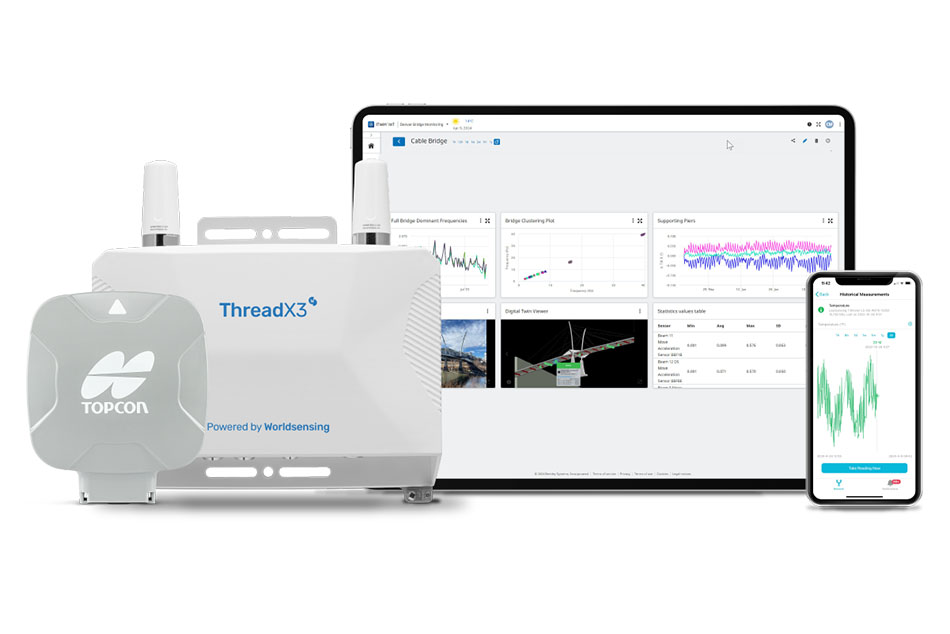
Advanced universal tracking and correction services are vital to many applications. From agriculture to driverless cars, the services are utilized across both traditional and emerging sectors and we’re seeing the benefits of this technology on projects across the globe. For example, since 2016 we have exclusively provided the National Land Survey of Finland (NLS) with its high-precision geomatics solutions, enabling the organization to maintain the highest possible standards of work and data production. In fact, recent tests carried out by NLS actually proved that Topcon’s GNSS receivers are the most effective on the market, with the NLS now using more than 400 pieces of Topcon equipment.
With the results of these technologies speaking for themselves, Topcon is continuing to innovate and push the boundaries to create the most efficient, accurate and high-performance solutions for a wide range of cross-industry applications.
To find out more about Topcon’s range of universal tracking and correction services, or to register for free tickets for Intergeo 2020, please visit: https://www.topconpositioning.com/accelerate-jobsites